Contour Mapping
-
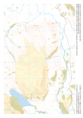
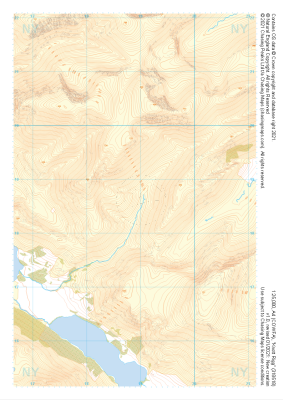 "Knott Rigg" Natural Features£4.99
1:25,000 scale map covering Knott Rigg in the Lake District (approx. center NY189186).
Learn More -
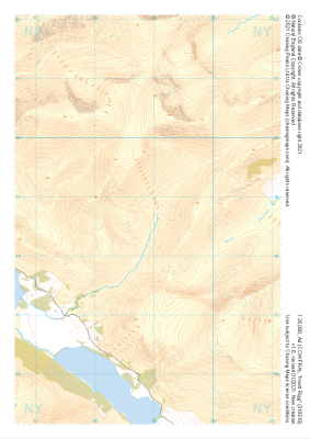 "Knott Rigg" Major Hazards£4.99
1:25,000 scale map covering Knott Rigg in the Lake District (approx. center NY189186).
Learn More -
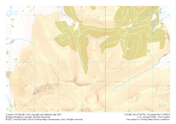
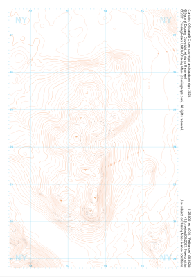
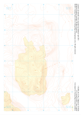
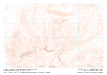 "Grisedale Pike" Landform£4.99
1:25,000 scale map covering Grisedale Pike in the Lake District (approx. center NY193231).
Learn More -
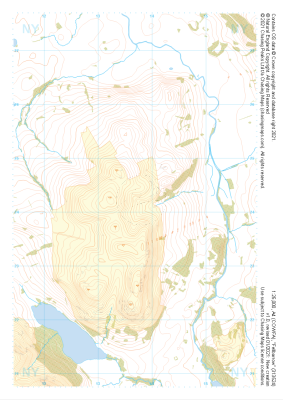
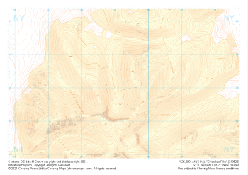 "Grisedale Pike" Landform+£4.99
1:25,000 scale map covering Grisedale Pike in the Lake District (approx. center NY193231).
Learn More -
 "Grisedale Pike" Natural Features£4.99
1:25,000 scale map covering Grisedale Pike in the Lake District (approx. center NY193231).
Learn More -
 "Grisedale Pike" Major Hazards£4.99
1:25,000 scale map covering Grisedale Pike in the Lake District (approx. center NY193231).
Learn More -
 "Fellbarrow" Landform£4.99
1:25,000 scale map covering Fellbarrow in the Lake District (approx. center NY137242).
Learn More -
 "Fellbarrow" Landform+£4.99
1:25,000 scale map covering Fellbarrow in the Lake District (approx. center NY137242).
Learn More -
 "Fellbarrow" Natural Features£4.99
1:25,000 scale map covering Fellbarrow in the Lake District (approx. center NY137242).
Learn More -
 "Fellbarrow" Major Hazards£4.99
1:25,000 scale map covering Fellbarrow in the Lake District (approx. center NY137242).
Learn More