Contour Mapping
-
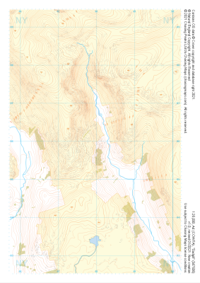 "Sadgill" Natural Features£4.99
1:25,000 scale map covering Sadgill in the Lake District (approx. center NY480060).
Learn More -
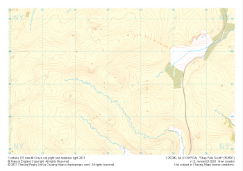
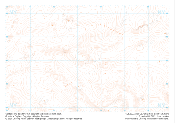 "Shap Fells South" Landform£4.99
1:25,000 scale map covering Shap Fells South in the Lake District (approx. center NY534071).
Learn More -
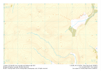
 "Shap Fells South" Landform+£4.99
1:25,000 scale map covering Shap Fells South in the Lake District (approx. center NY534071).
Learn More -
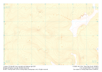
 "Shap Fells South" Natural Features£4.99
1:25,000 scale map covering Shap Fells South in the Lake District (approx. center NY534071).
Learn More -
 "Shap Fells South" Major Hazards£4.99
1:25,000 scale map covering Shap Fells South in the Lake District (approx. center NY534071).
Learn More -
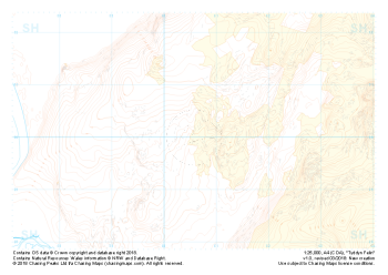
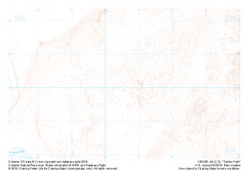
 Free Sample "Tyddyn Felin" Major Hazards£0.00
1:25,000 scale map covering the area around Tyddyn Felin in North Wales (approx. center SH605295).
Part of our FREE sample maps range, this map featuring our "Major Hazards" features and symbology is the perfect showcase for our "off-the-shelf" contour mapping.
Learn More -
 Free Sample "Tyddyn Felin" Natural Features£0.00
1:25,000 scale map covering the area around Tyddyn Felin in North Wales (approx. center SH605295).
Part of our FREE sample maps range, this map featuring our "Natural Features" features and symbology is the perfect showcase for our "off-the-shelf" contour mapping.
Learn More -
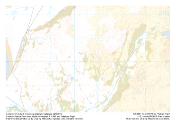
 Free Sample "Tyddyn Felin" Landform+£0.00
1:25,000 scale map covering the area around Tyddyn Felin in North Wales (approx. center SH605295).
Part of our FREE sample maps range, this map featuring our "Landform+" features and symbology is the perfect showcase for our "off-the-shelf" contour mapping.
Learn More -
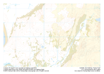
 Free Sample "Tyddyn Felin" Landform£0.00
1:25,000 scale map covering the area around Tyddyn Felin in North Wales (approx. center SH605295).
Part of our FREE sample maps range, this map featuring our "Landform" features and symbology is the perfect showcase for our "off-the-shelf" contour mapping.
Learn More -
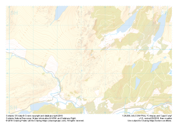 "Crimpiau and Capel Curig" Major Hazards£4.99
1:25,000 scale map covering the area around Crimpiau and Capel Curig in North Wales (approx. center SH735595).
Crimpiau near Capel Curig is perfectly suited to mountain navigation and micro navigation training. Thanks to its complexity, the area is used frequently by instructors and centres in the area, including the national mountain centre and the forces adventurous training unit.
Learn More