Contour Mapping
-
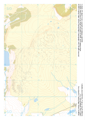 "Cefn yr Ystrad" Major Hazards£4.99
1:25,000 scale map covering Cefn yr Ystrad in the South Wales (approx. center SO082121).
Learn More -
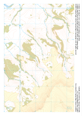 "Twmpa" Natural Features£4.99
1:25,000 scale map covering Twmpa in the South Wales (approx. center SO212367).
Learn More -
 "Twmpa" Major Hazards£4.99
1:25,000 scale map covering Twmpa in the South Wales (approx. center SO212367).
Learn More -
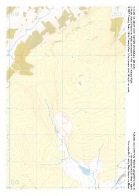
 "Mynydd Llangynidr" Natural Features£4.99
1:25,000 scale map covering Mynydd Llangynidr in the South Wales (approx. center SO121143).
Learn More -
 "Mynydd Llangynidr" Major Hazards£4.99
1:25,000 scale map covering Mynydd Llangynidr in the South Wales (approx. center SO121143).
Learn More -
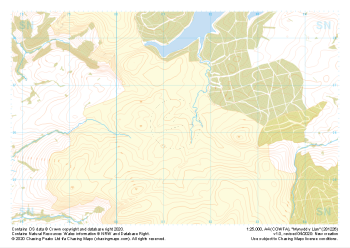 "Mynydd y Llan" Natural Features£4.99
1:25,000 scale map covering Mynydd y Llan in the South Wales (approx. center SN812262).
Learn More -
 "Carlton Moor" Natural Features£4.99
1:25,000 scale map covering Carlton Moor in the North Yorkshire (approx. center NZ520020).
Learn More -
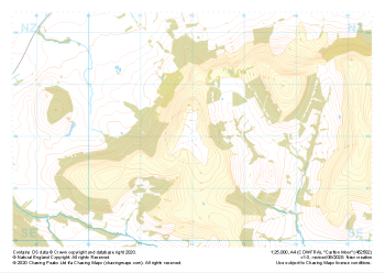 "Carlton Moor" Major Hazards£4.99
1:25,000 scale map covering Carlton Moor in the North Yorkshire (approx. center NZ520020).
Learn More -
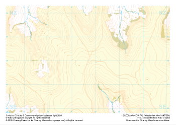 "Westerdale Moor" Natural Features£4.99
1:25,000 scale map covering Battersby Moor in the North Yorkshire (approx. center NZ610060).
Learn More -
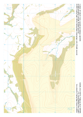 "Battersby Moor" Natural Features£4.99
1:25,000 scale map covering Westerdale Moor in the North Yorkshire (approx. center NZ677019).
Learn More