Contour Mapping
-
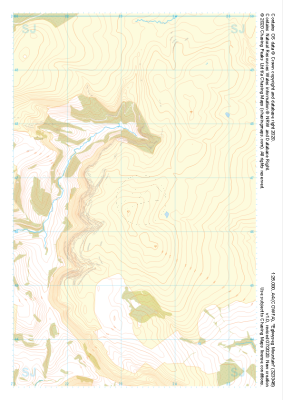 "Eglwyseg Mountain" Natural Features£4.99
1:25,000 scale map covering Eglwyseg Mountain in the North Wales (approx. center SJ233465).
Learn More -
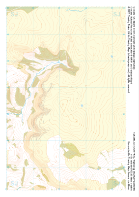 "Eglwyseg Mountain" Major Hazards£4.99
1:25,000 scale map covering Eglwyseg Mountain in the North Wales (approx. center SJ233465).
Learn More -
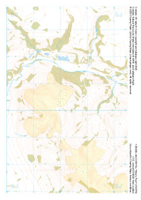 "Moel y Parc" Natural Features£4.99
1:25,000 scale map covering Moel y Parc in the North Wales (approx. center SJ123703).
Learn More -
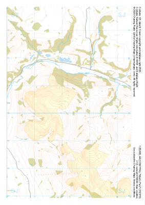 "Moel y Parc" Major Hazards£4.99
1:25,000 scale map covering Moel y Parc in the North Wales (approx. center SJ123703).
Learn More -
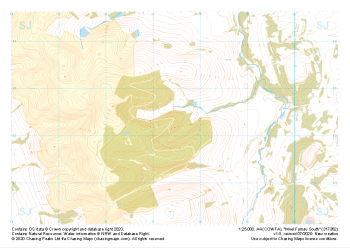 "Moel Famau South" Natural Features£4.99
1:25,000 scale map covering Moel Famau South in the North Wales (approx. center SJ175623).
Learn More -
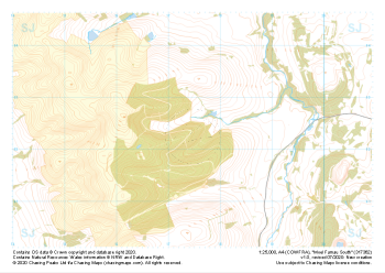 "Moel Famau South" Major Hazards£4.99
1:25,000 scale map covering Moel Famau South in the North Wales (approx. center SJ175623).
Learn More -
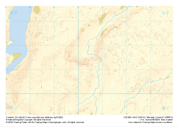 "Mardale Common" Natural Features£4.99
1:25,000 scale map covering Mardale Common in the Lake District (approx. center NY505113).
Learn More -
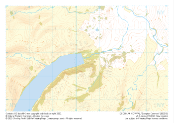 "Bampton Common" Natural Features£4.99
1:25,000 scale map covering Bampton Common in the Lake District (approx. center NY505158).
Learn More -
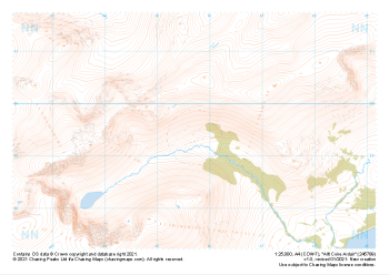 "Allt Coire Ardair" Natural Features£4.99
1:25,000 scale map covering Allt Coire Ardair in the Scottish Highlands (approx. center NN457895).
Learn More -
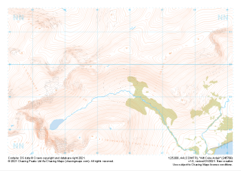 "Allt Coire Ardair" Major Hazards£4.99
1:25,000 scale map covering Allt Coire Ardair in the Scottish Highlands (approx. center NN457895).
Learn More