Contour Mapping
-
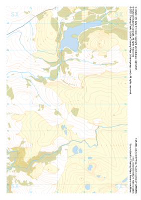 "Lynch Common" Major Hazards£4.99
1:25,000 scale map covering Lynch Common in the Dartmoor (approx. center SX553661).
Learn More -
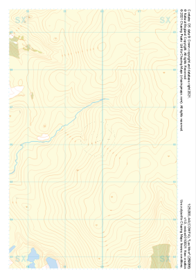 "Lee Moor" Natural Features£4.99
1:25,000 scale map covering Lee Moor in the Dartmoor (approx. center SX598661).
Learn More -
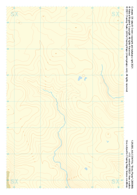 "Erme Plains" Natural Features£4.99
1:25,000 scale map covering Erme Plains in the Dartmoor (approx. center SX639661).
Learn More -
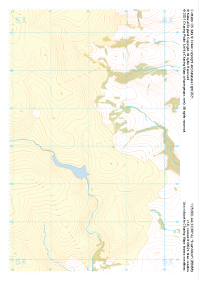 "Dean Moor" Natural Features£4.99
1:25,000 scale map covering Dean Moor in the Dartmoor (approx. center SX682661).
Learn More -
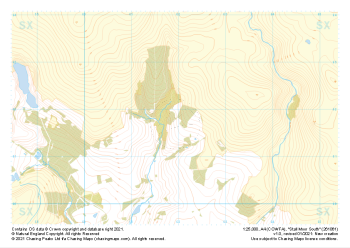 "Stall Moor South" Natural Features£4.99
1:25,000 scale map covering Stall Moor South in the Dartmoor (approx. center SX619618).
Learn More -
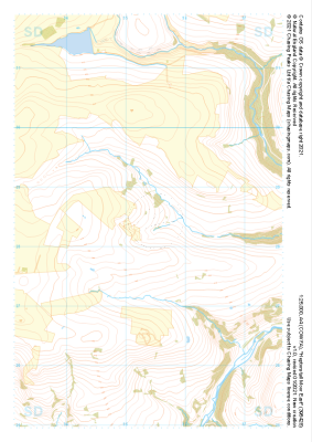 "Heptonstall Moor East" Natural Features£4.99
1:25,000 scale map covering Heptonstall Moor East in the Midlands (approx. center SD954284).
Learn More -
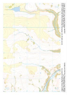 "Heptonstall Moor East" Major Hazards£4.99
1:25,000 scale map covering Heptonstall Moor East in the Midlands (approx. center SD954284).
Learn More -
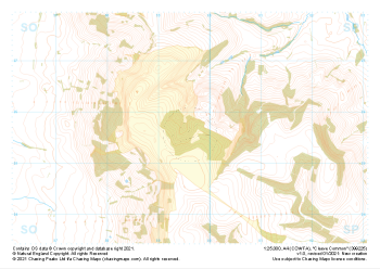
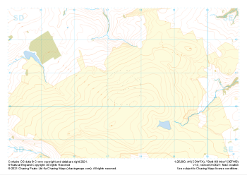 "Stott Hill Moor" Natural Features£4.99
1:25,000 scale map covering Stott Hill Moor in the Midlands (approx. center SD975407).
Learn More -
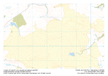 "Stott Hill Moor" Major Hazards£4.99
1:25,000 scale map covering Stott Hill Moor in the Midlands (approx. center SD975407).
Learn More -
 "Cleeve Common" Natural Features£4.99
1:25,000 scale map covering Cleeve Common in the South West (approx. center SO996257).
Learn More