Contour Mapping
-
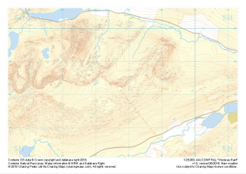
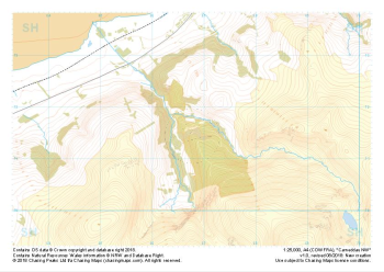
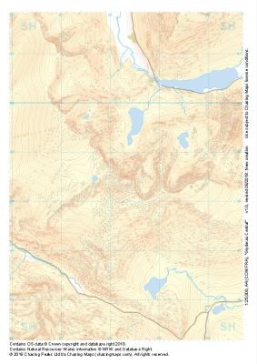 "Glyderau Central" Major Hazards£4.99
1:25,000 scale map covering Glyderau Central in the North Wales (approx. center SH643585).
Learn More -
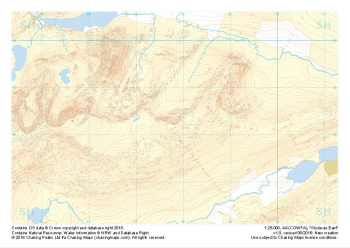
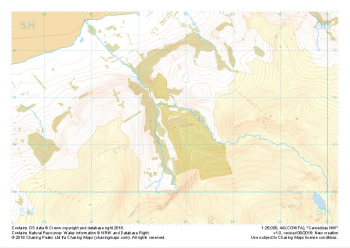
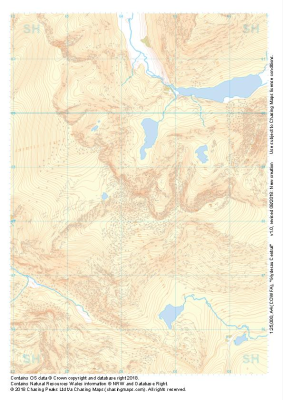 "Glyderau Central" Natural Features£4.99
1:25,000 scale map covering Glyderau Central in the North Wales (approx. center SH643585).
Learn More -
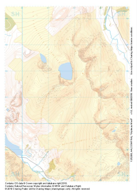 "Glyderau West" Major Hazards£4.99
1:25,000 scale map covering Glyderau West in the North Wales (approx. center SH617611).
Learn More -
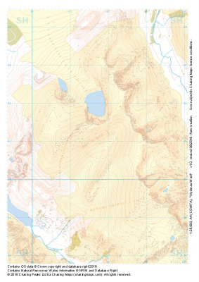 "Glyderau West" Natural Features£4.99
1:25,000 scale map covering Glyderau West in the North Wales (approx. center SH617611).
Learn More -
 "Glyderau East" Major Hazards£4.99
1:25,000 scale map covering Glyderau East in the North Wales (approx. center SH678584).
Learn More -
 "Glyderau East" Natural Features£4.99
1:25,000 scale map covering Glyderau East in the North Wales (approx. center SH678584).
Learn More -
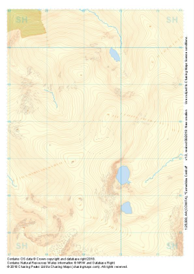 "Carneddau Central" Natural Features£4.99
1:25,000 scale map covering Carneddau Central in the North Wales (approx. center SH693677).
Learn More -
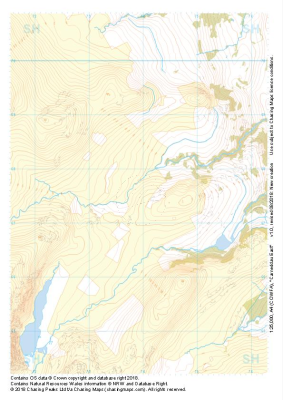 "Carneddau East" Natural Features£4.99
1:25,000 scale map covering Carneddau East in the North Wales (approx. center SH739675).
Learn More -
 "Carneddau NW" Major Hazards£4.99
1:25,000 scale map covering Carneddau NW in the North Wales (approx. center SH668716).
Learn More -
 "Carneddau NW" Natural Features£4.99
1:25,000 scale map covering Carneddau NW in the North Wales (approx. center SH668716).
Learn More