Contour Mapping
-
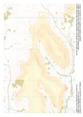 "Mynydd Troed" Major Hazards£4.99
1:25,000 scale map covering Mynydd Troed in the South Wales (approx. center SO164273).
Learn More -
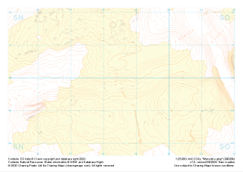
 "Mynydd Llangatwg West" Landform+£4.99
1:25,000 scale map covering Mynydd Llangatwg West in the South Wales (approx. center SO163154).
Learn More -
 "Mynydd Llangatwg West" Natural Features£4.99
1:25,000 scale map covering Mynydd Llangatwg West in the South Wales (approx. center SO163154).
Learn More -
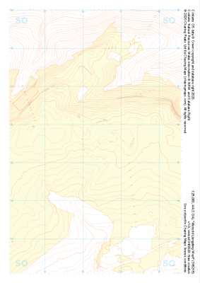
 "Mynydd Llangatwg West" Major Hazards£4.99
1:25,000 scale map covering Mynydd Llangatwg West in the South Wales (approx. center SO163154).
Learn More -
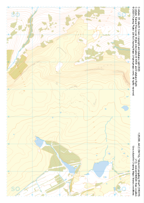
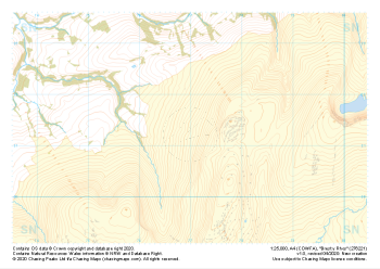
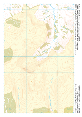
 "Brest y Rhos" Landform+£4.99
1:25,000 scale map covering Brest y Rhos in the South Wales (approx. center SN770212).
Learn More -
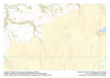
 "Brest y Rhos" Natural Features£4.99
1:25,000 scale map covering Brest y Rhos in the South Wales (approx. center SN770212).
Learn More -
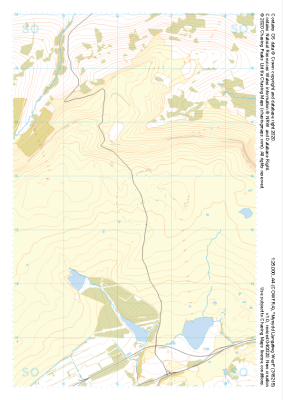
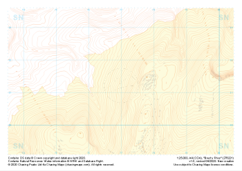
 "Brest y Rhos" Major Hazards£4.99
1:25,000 scale map covering Brest y Rhos in the South Wales (approx. center SN770212).
Learn More -
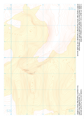 "Fan Nedd" Landform+£4.99
1:25,000 scale map covering Fan Nedd in the South Wales (approx. center SN918198).
Learn More -
 "Fan Nedd" Natural Features£4.99
1:25,000 scale map covering Fan Nedd in the South Wales (approx. center SN918198).
Learn More -
 "Mynydd-y-glog" Landform+£4.99
1:25,000 scale map covering Mynydd-y-glog in the South Wales (approx. center SN985098).
Learn More