Contour Mapping
-
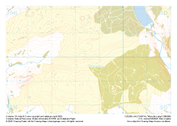 "Mynydd-y-glog" Natural Features£4.99
1:25,000 scale map covering Mynydd-y-glog in the South Wales (approx. center SN985098).
Learn More -
 "Mynydd-y-glog" Major Hazards£4.99
1:25,000 scale map covering Mynydd-y-glog in the South Wales (approx. center SN985098).
Learn More -
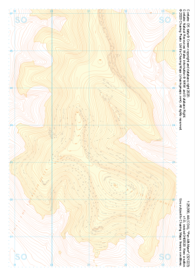 "Pen Allt-Mawr" Landform+£4.99
1:25,000 scale map covering Pen Allt-Mawr in the South Wales (approx. center SO211235).
Learn More -
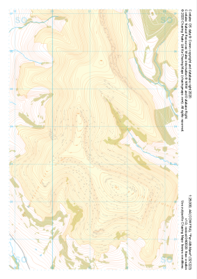
 "Pen Allt-Mawr" Natural Features£4.99
1:25,000 scale map covering Pen Allt-Mawr in the South Wales (approx. center SO211235).
Learn More -
 "Pen Allt-Mawr" Major Hazards£4.99
1:25,000 scale map covering Pen Allt-Mawr in the South Wales (approx. center SO211235).
Learn More -
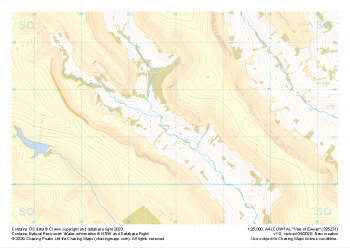
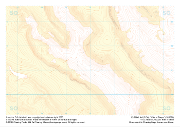 "Vale of Ewyas" Landform+£4.99
1:25,000 scale map covering Vale of Ewyas in the South Wales (approx. center SO260313).
Learn More -
 "Vale of Ewyas" Natural Features£4.99
1:25,000 scale map covering Vale of Ewyas in the South Wales (approx. center SO260313).
Learn More -
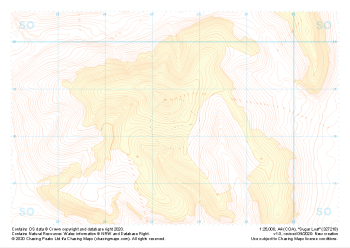 "Sugar Loaf" Landform+£4.99
1:25,000 scale map covering Sugar Loaf in the South Wales (approx. center SO275183).
Learn More -
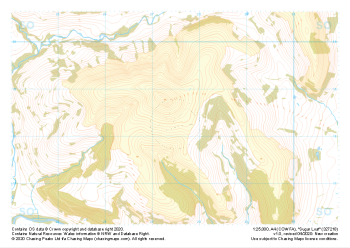 "Sugar Loaf" Natural Features£4.99
1:25,000 scale map covering Sugar Loaf in the South Wales (approx. center SO275183).
Learn More -
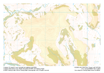 "Sugar Loaf" Major Hazards£4.99
1:25,000 scale map covering Sugar Loaf in the South Wales (approx. center SO275183).
Learn More