Contour Mapping
-
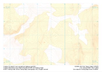
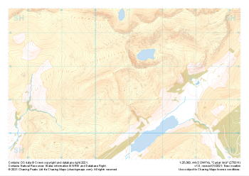 "Cadair Idris" Natural Features£4.99
1:25,000 scale map covering Cadair Idris in the North Wales (approx. center SH709115).
Learn More -
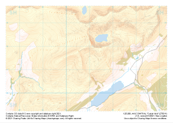 "Cadair Idris" Major Hazards£4.99
1:25,000 scale map covering Cadair Idris in the North Wales (approx. center SH709115).
Learn More -
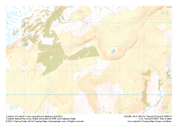
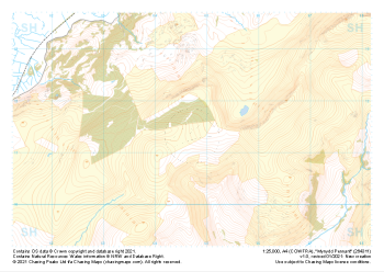
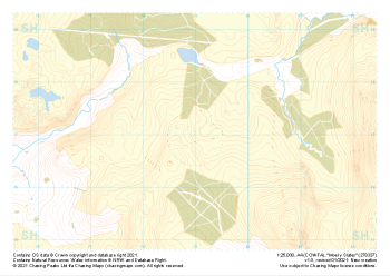
 "Mynydd Pennant" Landform+£4.99
1:25,000 scale map covering Mynydd Pennant in the North Wales (approx. center SH647114).
Learn More -
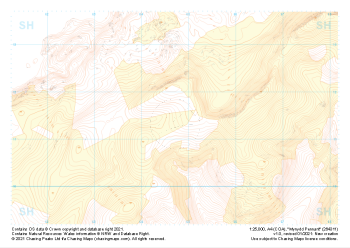
 "Mynydd Pennant" Natural Features£4.99
1:25,000 scale map covering Mynydd Pennant in the North Wales (approx. center SH647114).
Learn More -
 "Mynydd Pennant" Major Hazards£4.99
1:25,000 scale map covering Mynydd Pennant in the North Wales (approx. center SH647114).
Learn More -
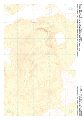 "Llyn Arenig Fawr" Landform+£4.99
1:25,000 scale map covering Llyn Arenig Fawr in the North Wales (approx. center SH834367).
Learn More -
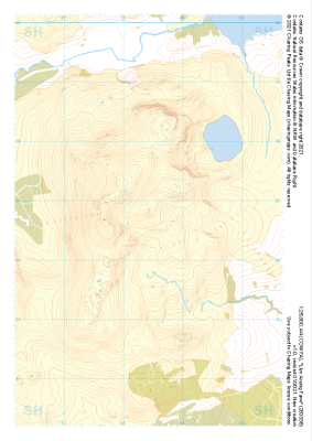 "Llyn Arenig Fawr" Natural Features£4.99
1:25,000 scale map covering Llyn Arenig Fawr in the North Wales (approx. center SH834367).
Learn More -
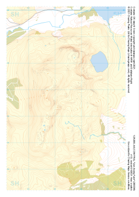 "Llyn Arenig Fawr" Major Hazards£4.99
1:25,000 scale map covering Llyn Arenig Fawr in the North Wales (approx. center SH834367).
Learn More -
 "Moel y Slates" Landform+£4.99
1:25,000 scale map covering Moel y Slates in the North Wales (approx. center SH790371).
Learn More -
 "Moel y Slates" Natural Features£4.99
1:25,000 scale map covering Moel y Slates in the North Wales (approx. center SH790371).
Learn More