Contour Mapping
-
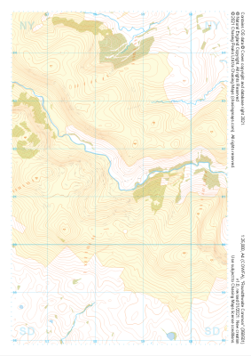
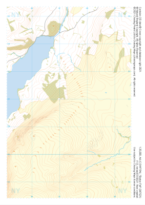
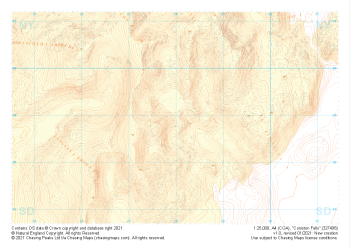 "Coniston Fells" Landform+£4.99
1:25,000 scale map covering Coniston Fells in the Lake District (approx. center SD280989).
Learn More -
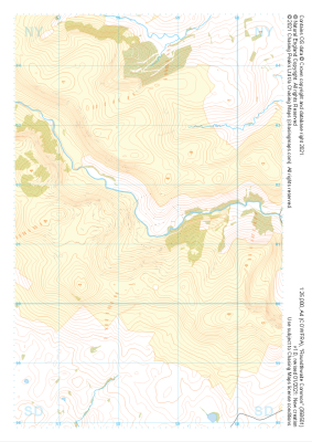
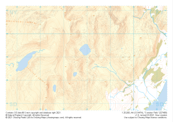 "Coniston Fells" Natural Features£4.99
1:25,000 scale map covering Coniston Fells in the Lake District (approx. center SD280989).
Learn More -
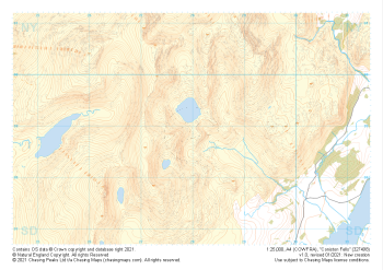 "Coniston Fells" Major Hazards£4.99
1:25,000 scale map covering Coniston Fells in the Lake District (approx. center SD280989).
Learn More -
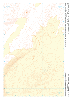
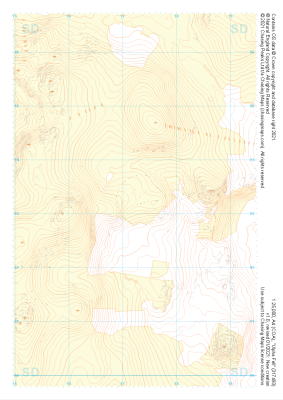
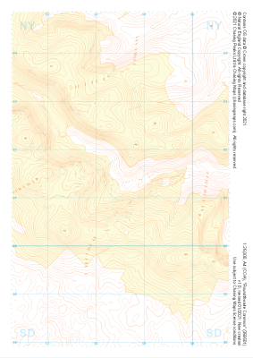 "Roundthwaite Common" Landform+£4.99
1:25,000 scale map covering Roundthwaite Common in the Lake District (approx. center NY585014).
Learn More -
 "Roundthwaite Common" Natural Features£4.99
1:25,000 scale map covering Roundthwaite Common in the Lake District (approx. center NY585014).
Learn More -
 "Roundthwaite Common" Major Hazards£4.99
1:25,000 scale map covering Roundthwaite Common in the Lake District (approx. center NY585014).
Learn More -
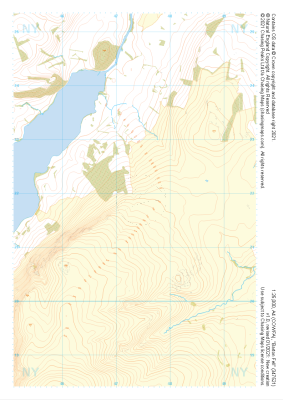
 "Barton Fell" Landform+£4.99
1:25,000 scale map covering Barton Fell in the Lake District (approx. center NY473219).
Learn More -
 "Barton Fell" Natural Features£4.99
1:25,000 scale map covering Barton Fell in the Lake District (approx. center NY473219).
Learn More -
 "Barton Fell" Major Hazards£4.99
1:25,000 scale map covering Barton Fell in the Lake District (approx. center NY473219).
Learn More -
 "Ulpha Fell" Landform+£4.99
1:25,000 scale map covering Ulpha Fell in the Lake District (approx. center SD172933).
Learn More