Contour Mapping
-
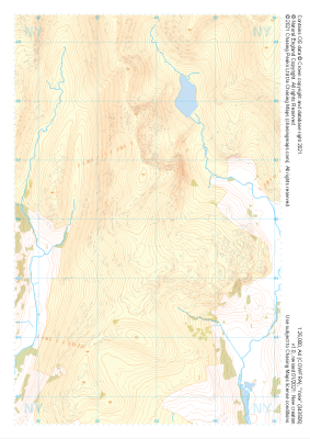 "Yoke" Major Hazards£4.99
1:25,000 scale map covering Yoke in the Lake District (approx. center NY438060).
Learn More -
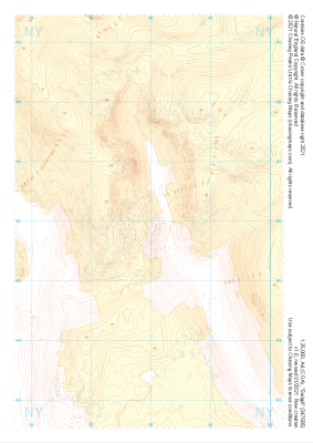 "Sadgill" Landform+£4.99
1:25,000 scale map covering Sadgill in the Lake District (approx. center NY480060).
Learn More -
 "Sadgill" Natural Features£4.99
1:25,000 scale map covering Sadgill in the Lake District (approx. center NY480060).
Learn More -
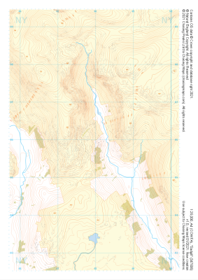
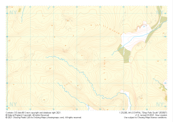
 "Shap Fells South" Landform+£4.99
1:25,000 scale map covering Shap Fells South in the Lake District (approx. center NY534071).
Learn More -
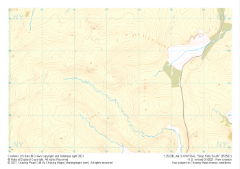
 "Shap Fells South" Natural Features£4.99
1:25,000 scale map covering Shap Fells South in the Lake District (approx. center NY534071).
Learn More -
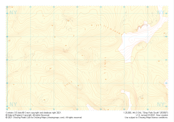
 "Shap Fells South" Major Hazards£4.99
1:25,000 scale map covering Shap Fells South in the Lake District (approx. center NY534071).
Learn More -
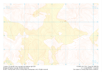 "Camp Hill" Landform+£4.99
1:25,000 scale map covering Camp Hill in the South East (approx. center TQ469290).
Learn More -
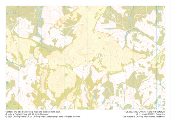 "Camp Hill" Natural Features£4.99
1:25,000 scale map covering Camp Hill in the South East (approx. center TQ469290).
Learn More -
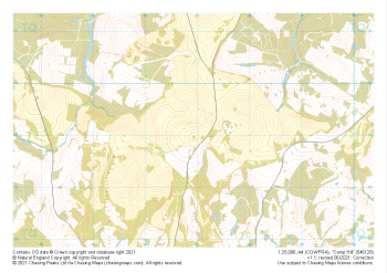 "Camp Hill" Major Hazards£4.99
1:25,000 scale map covering Camp Hill in the South East (approx. center TQ469290).
Learn More -
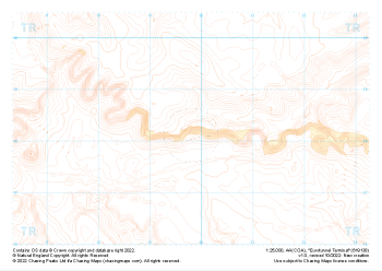 "Eurotunnel Terminal" Landform+£4.99
1:25,000 scale map covering Eurotunnel Terminal in the South East (approx. center TR198382).
Learn More