Contour Mapping
-
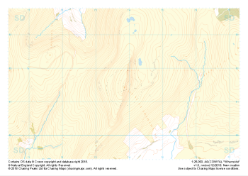 "Whernside" Natural Features£4.99
1:25,000 scale map covering Whernside in the Yorkshire Dales (approx. center SD738814).
Learn More -
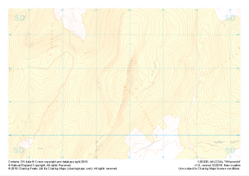 "Whernside" Landform+£4.99
1:25,000 scale map covering Whernside in the Yorkshire Dales (approx. center SD738814).
Learn More -
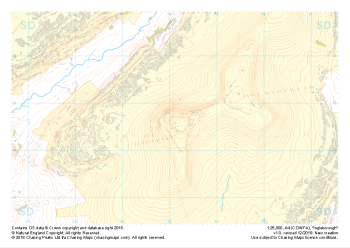
 "Ingleborough" Major Hazards£4.99
1:25,000 scale map covering Ingleborough in the Yorkshire Dales (approx. center SD741746).
Learn More -
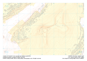
 "Ingleborough" Natural Features£4.99
1:25,000 scale map covering Ingleborough in the Yorkshire Dales (approx. center SD741746).
Learn More -
 "Ingleborough" Landform+£4.99
1:25,000 scale map covering Ingleborough in the Yorkshire Dales (approx. center SD741746).
Learn More -
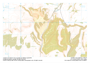 "QECP" Major Hazards£4.99
1:25,000 scale map covering QECP in the South Downs (approx. center SU720192).
Learn More -
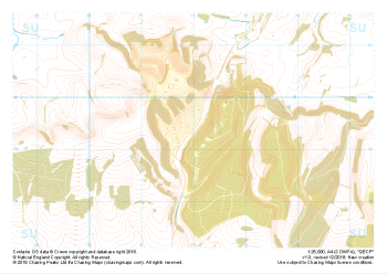 "QECP" Natural Features£4.99
1:25,000 scale map covering QECP in the South Downs (approx. center SU720192).
Learn More -
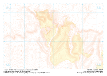 "QECP" Landform+£4.99
1:25,000 scale map covering QECP in the South Downs (approx. center SU720192).
Learn More -
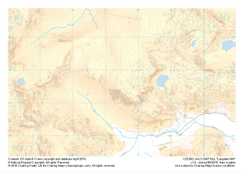 "Langdale NW" Major Hazards£4.99
1:25,000 scale map covering Langdale's North West corner (approx. center NY275075).
Known for its stunning countryside, tricky navigational terrain and beautiful wild camping spots, the Langdale Fells provide a true mountain adventure for every type of explorer.
Learn More -
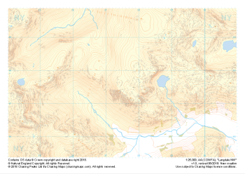 "Langdale NW" Natural Features£4.99
1:25,000 scale map covering Langdale's North West corner (approx. center NY275075).
Known for its stunning countryside, tricky navigational terrain and beautiful wild camping spots, the Langdale Fells provide a true mountain adventure for every type of explorer.
Learn More