Contour Mapping
-
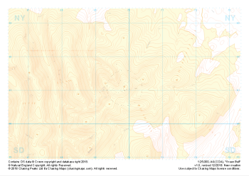 "Green Bell" Landform+£4.99
1:25,000 scale map covering Green Bell in the Yorkshire Dales (approx. center NY699011).
Learn More -
 "Green Bell" Natural Features£4.99
1:25,000 scale map covering Green Bell in the Yorkshire Dales (approx. center NY699011).
Learn More -
 "Green Bell" Major Hazards£4.99
1:25,000 scale map covering Green Bell in the Yorkshire Dales (approx. center NY699011).
Learn More -
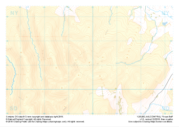
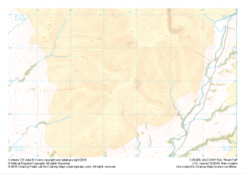
 "Brant Fell" Landform+£4.99
1:25,000 scale map covering Brant Fell in the Yorkshire Dales (approx. center SD666948).
Learn More -
 "Brant Fell" Natural Features£4.99
1:25,000 scale map covering Brant Fell in the Yorkshire Dales (approx. center SD666948).
Learn More -
 "Brant Fell" Major Hazards£4.99
1:25,000 scale map covering Brant Fell in the Yorkshire Dales (approx. center SD666948).
Learn More -
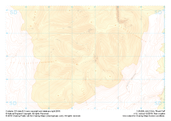
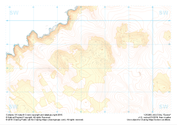 "Zennor" Landform+£4.99
1:25,000 scale map covering Zennor in the South West (approx. center SW473382).
Learn More -
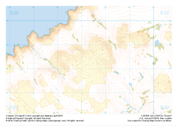 "Zennor" Natural Features£4.99
1:25,000 scale map covering Zennor in the South West (approx. center SW473382).
Learn More -
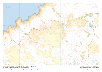 "Zennor" Major Hazards£4.99
1:25,000 scale map covering Zennor in the South West (approx. center SW473382).
Learn More -
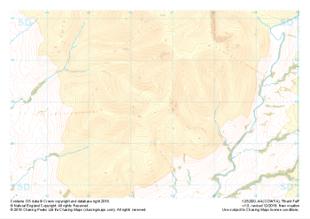
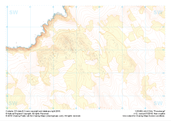 "Rosemergy" Landform+£4.99
1:25,000 scale map covering Rosemergy in the South West (approx. center SW434355).
Learn More