Contour Mapping
-
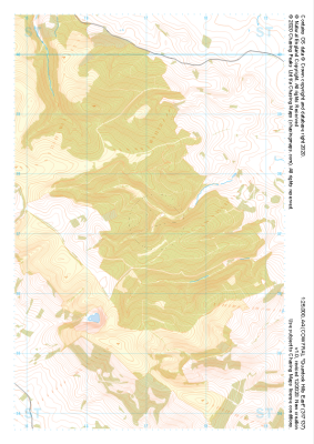 "Quantock Hills East" Major Hazards£4.99
1:25,000 scale map covering Quantock Hills East in the South West (approx. center ST171372).
Learn More -
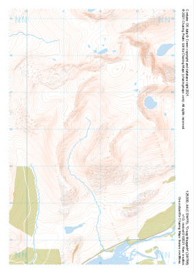
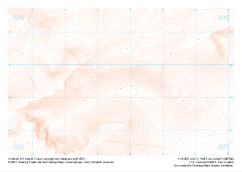 "Allt Coire Ardair" Contour Only£4.99
1:25,000 scale map covering Allt Coire Ardair in the Scottish Highlands (approx. center NN457895).
Learn More -
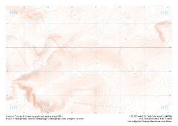 "Allt Coire Ardair" Landform£4.99
1:25,000 scale map covering Allt Coire Ardair in the Scottish Highlands (approx. center NN457895).
Learn More -
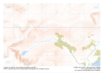 "Allt Coire Ardair" Natural Features£4.99
1:25,000 scale map covering Allt Coire Ardair in the Scottish Highlands (approx. center NN457895).
Learn More -
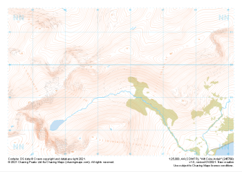 "Allt Coire Ardair" Major Hazards£4.99
1:25,000 scale map covering Allt Coire Ardair in the Scottish Highlands (approx. center NN457895).
Learn More -
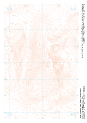
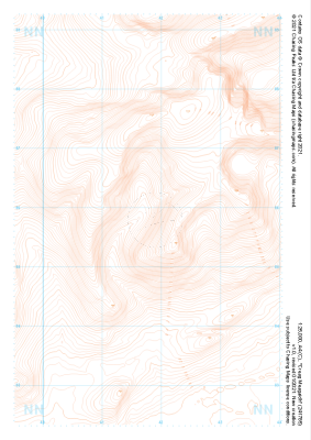 "Creag Meagaidh" Contour Only£4.99
1:25,000 scale map covering Creag Meagaidh in the Scottish Highlands (approx. center NN418858).
Learn More -
 "Creag Meagaidh" Landform£4.99
1:25,000 scale map covering Creag Meagaidh in the Scottish Highlands (approx. center NN418858).
Learn More -
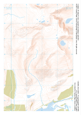 "Creag Meagaidh" Natural Features£4.99
1:25,000 scale map covering Creag Meagaidh in the Scottish Highlands (approx. center NN418858).
Learn More -
 "Creag Meagaidh" Major Hazards£4.99
1:25,000 scale map covering Creag Meagaidh in the Scottish Highlands (approx. center NN418858).
Learn More -
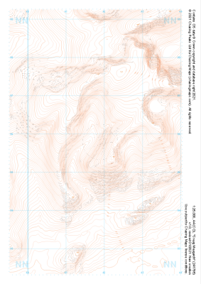
 "Creag Meagaidh West" Contour Only£4.99
1:25,000 scale map covering Creag Meagaidh West in the Scottish Highlands (approx. center NN379851).
Learn More