Contour Mapping
-
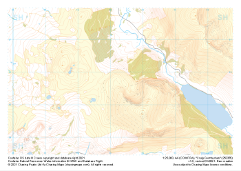 "Craig Cwmbychan" Major Hazards£4.99
1:25,000 scale map covering Craig Cwmbychan in the North Wales (approx. center SH533557).
Learn More -
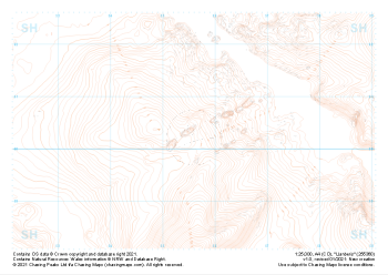
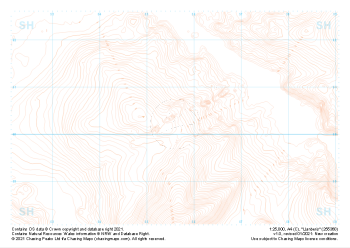 "Llanberis" Contour Only£4.99
1:25,000 scale map covering Llanberis in the North Wales (approx. center SH556603).
Learn More -
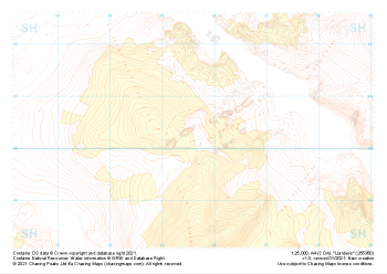
 "Llanberis" Landform£4.99
1:25,000 scale map covering Llanberis in the North Wales (approx. center SH556603).
Learn More -
 "Llanberis" Landform+£4.99
1:25,000 scale map covering Llanberis in the North Wales (approx. center SH556603).
Learn More -
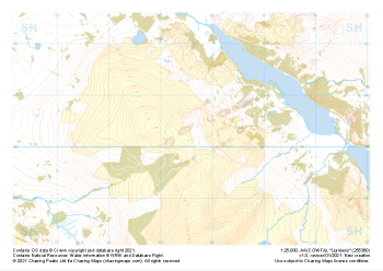 "Llanberis" Natural Features£4.99
1:25,000 scale map covering Llanberis in the North Wales (approx. center SH556603).
Learn More -
 "Llanberis" Major Hazards£4.99
1:25,000 scale map covering Llanberis in the North Wales (approx. center SH556603).
Learn More -
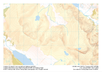
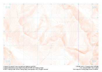 "Snowdon NW" Contour Only£4.99
1:25,000 scale map covering Snowdon NW in the North Wales (approx. center SH580568).
Learn More -
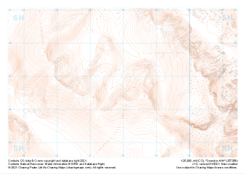 "Snowdon NW" Landform£4.99
1:25,000 scale map covering Snowdon NW in the North Wales (approx. center SH580568).
Learn More -
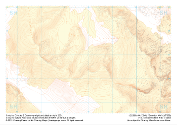 "Snowdon NW" Landform+£4.99
1:25,000 scale map covering Snowdon NW in the North Wales (approx. center SH580568).
Learn More -
 "Snowdon NW" Natural Features£4.99
1:25,000 scale map covering Snowdon NW in the North Wales (approx. center SH580568).
Learn More