Contour Mapping
-
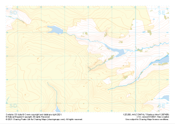
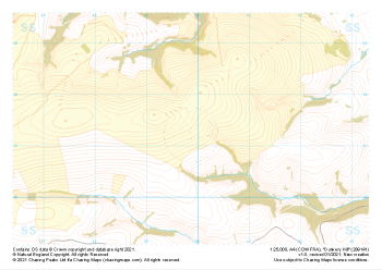
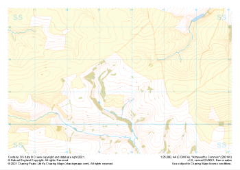 "Almsworthy Common" Natural Features£4.99
1:25,000 scale map covering Almsworthy Common in the South West (approx. center SS836413).
Learn More -
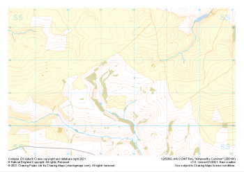 "Almsworthy Common" Major Hazards£4.99
1:25,000 scale map covering Almsworthy Common in the South West (approx. center SS836413).
Learn More -
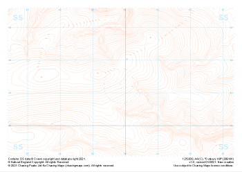
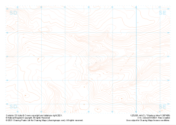 "Stanbury Moor" Contour Only£4.99
1:25,000 scale map covering Stanbury Moor in the Midlands (approx. center SD980369).
Learn More -
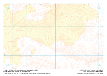
 "Stanbury Moor" Landform+£4.99
1:25,000 scale map covering Stanbury Moor in the Midlands (approx. center SD980369).
Learn More -
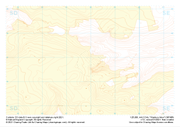
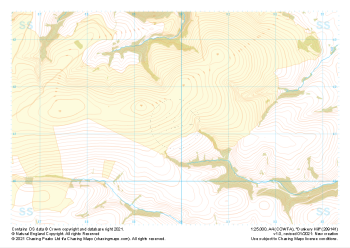
 "Stanbury Moor" Natural Features£4.99
1:25,000 scale map covering Stanbury Moor in the Midlands (approx. center SD980369).
Learn More -
 "Dunkery Hill" Contour Only£4.99
1:25,000 scale map covering Dunkery Hill in the South West (approx. center SS899413).
Learn More -
 "Dunkery Hill" Landform+£4.99
1:25,000 scale map covering Dunkery Hill in the South West (approx. center SS899413).
Learn More -
 "Dunkery Hill" Natural Features£4.99
1:25,000 scale map covering Dunkery Hill in the South West (approx. center SS899413).
Learn More -
 "Dunkery Hill" Major Hazards£4.99
1:25,000 scale map covering Dunkery Hill in the South West (approx. center SS899413).
Learn More -
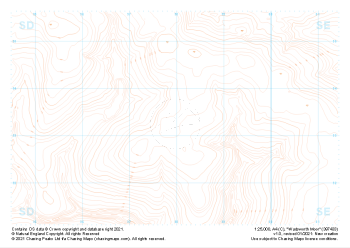 "Wadsworth Moor" Contour Only£4.99
1:25,000 scale map covering Wadsworth Moor in the Midlands (approx. center SD980334).
Learn More