Contour Mapping
-
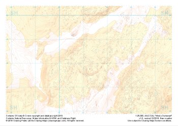 "Moel y Dyniewyd" Landform+£4.99
1:25,000 scale map covering Moel y Dyniewyd in North Wales (approx. center SH612480).
Learn More -
 "Moel y Dyniewyd" Natural Features£4.99
1:25,000 scale map covering Moel y Dyniewyd in North Wales (approx. center SH612480).
Learn More -
 "Moel y Dyniewyd" Major Hazards£4.99
1:25,000 scale map covering Moel y Dyniewyd in North Wales (approx. center SH612480).
Learn More -
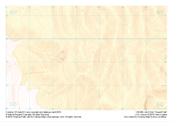
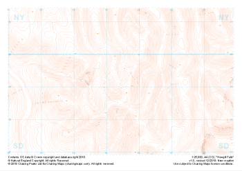 "Howgill Fells" Landform£4.99
1:25,000 scale map covering Howgill Fells in the Yorkshire Dales (approx. center SD654990).
Learn More -
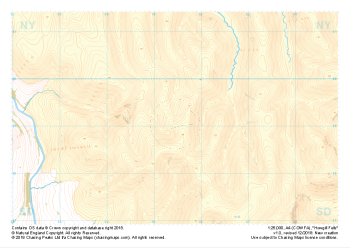
 "Howgill Fells" Landform+£4.99
1:25,000 scale map covering Howgill Fells in the Yorkshire Dales (approx. center SD654990).
Learn More -
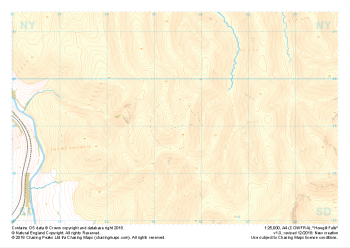
 "Howgill Fells" Natural Features£4.99
1:25,000 scale map covering Howgill Fells in the Yorkshire Dales (approx. center SD654990).
Learn More -
 "Howgill Fells" Major Hazards£4.99
1:25,000 scale map covering Howgill Fells in the Yorkshire Dales (approx. center SD654990).
Learn More -
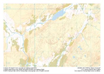
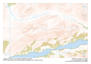
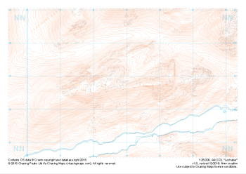 "Lochaber" Landform£4.99
1:25,000 scale map covering Lochaber in the Scottish Highlands (approx. center NN129627).
Learn More -
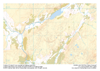
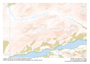
 "Lochaber" Natural Features£4.99
1:25,000 scale map covering Lochaber in the Scottish Highlands (approx. center NN129627).
Learn More -
 "Lochaber" Major Hazards£4.99
1:25,000 scale map covering Lochaber in the Scottish Highlands (approx. center NN129627).
Learn More