Contour Mapping
-
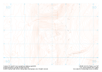 "Barbon Low Fell" Landform£4.99
1:25,000 scale map covering Barbon Low Fell in the Yorkshire Dales (approx. center SD649816).
Learn More -
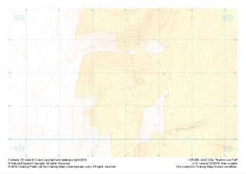 "Barbon Low Fell" Landform+£4.99
1:25,000 scale map covering Barbon Low Fell in the Yorkshire Dales (approx. center SD649816).
Learn More -
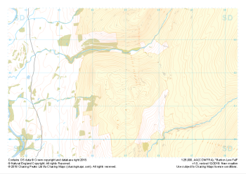
 "Barbon Low Fell" Natural Features£4.99
1:25,000 scale map covering Barbon Low Fell in the Yorkshire Dales (approx. center SD649816).
Learn More -
 "Barbon Low Fell" Major Hazards£4.99
1:25,000 scale map covering Barbon Low Fell in the Yorkshire Dales (approx. center SD649816).
Learn More -
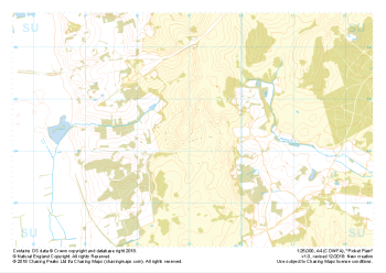
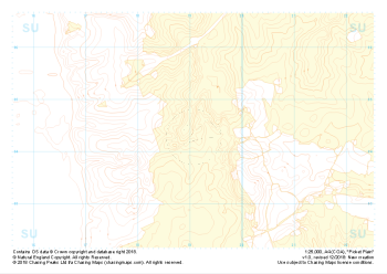 "Picket Plain" Landform+£4.99
1:25,000 scale map covering Picket Plain in the South West (approx. center SU191043).
Learn More -
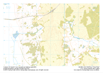
 "Picket Plain" Natural Features£4.99
1:25,000 scale map covering Picket Plain in the South West (approx. center SU191043).
Learn More -
 "Picket Plain" Major Hazards£4.99
1:25,000 scale map covering Picket Plain in the South West (approx. center SU191043).
Learn More -
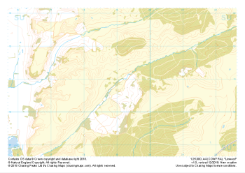
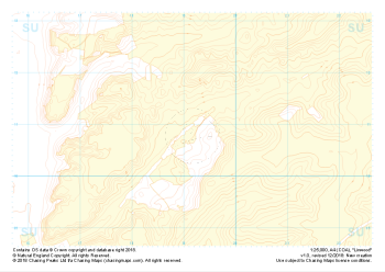 "Linwood" Landform+£4.99
1:25,000 scale map covering Linwood in the South West (approx. center SU192108).
Learn More -
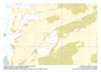 "Linwood" Natural Features£4.99
1:25,000 scale map covering Linwood in the South West (approx. center SU192108).
Learn More -
 "Linwood" Major Hazards£4.99
1:25,000 scale map covering Linwood in the South West (approx. center SU192108).
Learn More