Contour Mapping
-
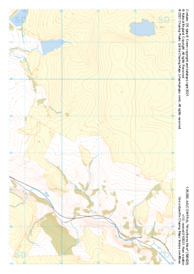
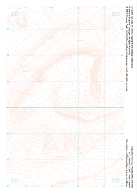
 "Worsthorne Moor" Natural Features£4.99
1:25,000 scale map covering Worsthorne Moor in the Midlands (approx. center SD908284).
Learn More -
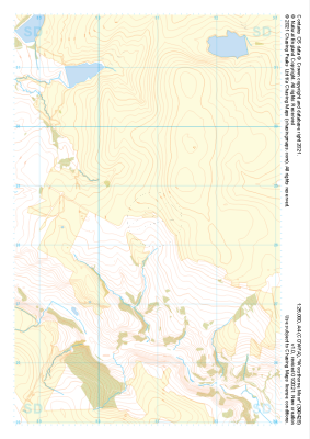
 "Worsthorne Moor" Major Hazards£4.99
1:25,000 scale map covering Worsthorne Moor in the Midlands (approx. center SD908284).
Learn More -
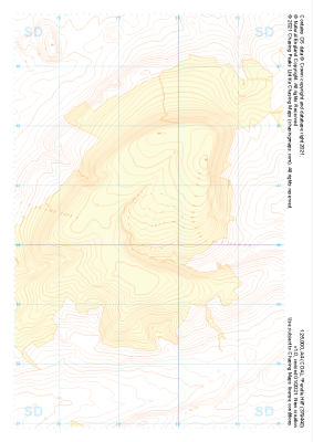
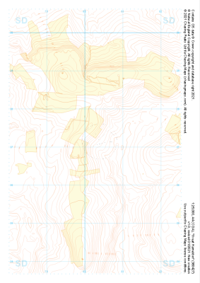 "Great Hameldon" Landform+£4.99
1:25,000 scale map covering Great Hameldon in the Midlands (approx. center SD803271).
Learn More -
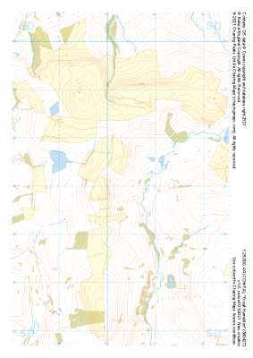 "Great Hameldon" Natural Features£4.99
1:25,000 scale map covering Great Hameldon in the Midlands (approx. center SD803271).
Learn More -
 "Great Hameldon" Major Hazards£4.99
1:25,000 scale map covering Great Hameldon in the Midlands (approx. center SD803271).
Learn More -
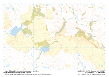
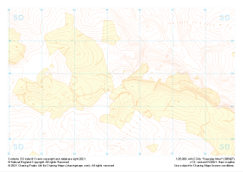 "Deerplay Moor" Landform+£4.99
1:25,000 scale map covering Deerplay Moor in the Midlands (approx. center SD854277).
Learn More -
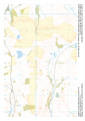
 "Deerplay Moor" Natural Features£4.99
1:25,000 scale map covering Deerplay Moor in the Midlands (approx. center SD854277).
Learn More -
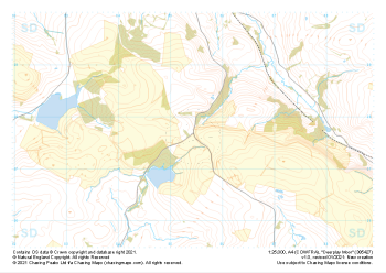 "Deerplay Moor" Major Hazards£4.99
1:25,000 scale map covering Deerplay Moor in the Midlands (approx. center SD854277).
Learn More -
 "Pendle Hill" Landform£4.99
1:25,000 scale map covering Pendle Hill in the Midlands (approx. center SD795404).
Learn More -
 "Pendle Hill" Landform+£4.99
1:25,000 scale map covering Pendle Hill in the Midlands (approx. center SD795404).
Learn More