Our purist "Contour Only" maps do exactly what it says on the label. Showing you contours at 5m or 10m intervals depending on the area, tidal lines (effectively the 0m contour) and height labels, these maps are perfect to train your terrain interpretation. As with all of our maps we also provide the national grid overlay to allow for effective taking of bearings and grid references.
Contour Only
-
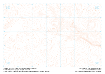
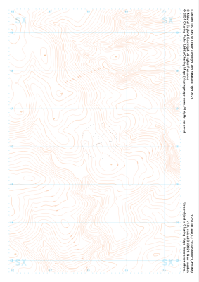 "Dean Moor" Contour Only£4.99
1:25,000 scale map covering Dean Moor in the Dartmoor (approx. center SX682661).
Learn More -
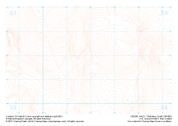 "Stall Moor South" Contour Only£4.99
1:25,000 scale map covering Stall Moor South in the Dartmoor (approx. center SX619618).
Learn More -
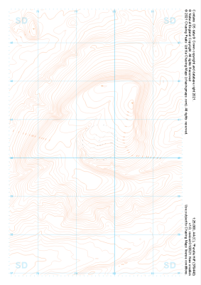
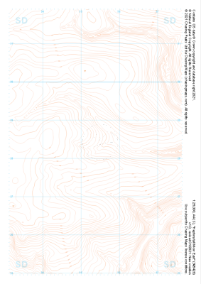 "Heptonstall Moor East" Contour Only£4.99
1:25,000 scale map covering Heptonstall Moor East in the Midlands (approx. center SD954284).
Learn More -
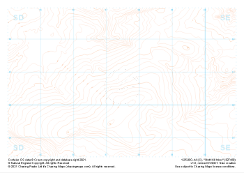 "Stott Hill Moor" Contour Only£4.99
1:25,000 scale map covering Stott Hill Moor in the Midlands (approx. center SD975407).
Learn More -
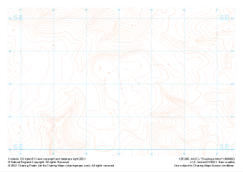 "Oxenhope Moor" Contour Only£4.99
1:25,000 scale map covering Oxenhope Moor in the Midlands (approx. center SE041321).
Learn More -
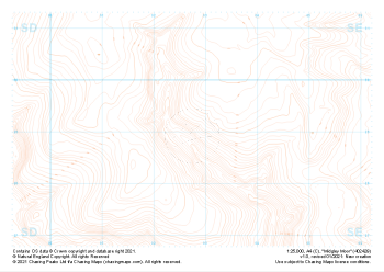 "Midgley Moor" Contour Only£4.99
1:25,000 scale map covering Midgley Moor in the Midlands (approx. center SE027290).
Learn More -
 "Worsthorne Moor" Contour Only£4.99
1:25,000 scale map covering Worsthorne Moor in the Midlands (approx. center SD908284).
Learn More -
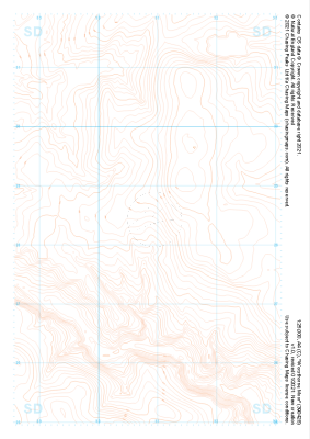
 "Great Hameldon" Contour Only£4.99
1:25,000 scale map covering Great Hameldon in the Midlands (approx. center SD803271).
Learn More -
 "Deerplay Moor" Contour Only£4.99
1:25,000 scale map covering Deerplay Moor in the Midlands (approx. center SD854277).
Learn More -
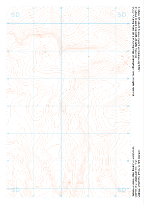
 "Pendle Hill" Contour Only£4.99
1:25,000 scale map covering Pendle Hill in the Midlands (approx. center SD795404).
Learn More