Our purist "Contour Only" maps do exactly what it says on the label. Showing you contours at 5m or 10m intervals depending on the area, tidal lines (effectively the 0m contour) and height labels, these maps are perfect to train your terrain interpretation. As with all of our maps we also provide the national grid overlay to allow for effective taking of bearings and grid references.
Contour Only
-
 "Glyderau East" Contour Only£4.99
1:25,000 scale map covering Glyderau East in the North Wales (approx. center SH678584).
Learn More -
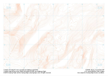
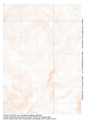 "Carneddau Central" Contour Only£4.99
1:25,000 scale map covering Carneddau Central in the North Wales (approx. center SH693677).
Learn More -
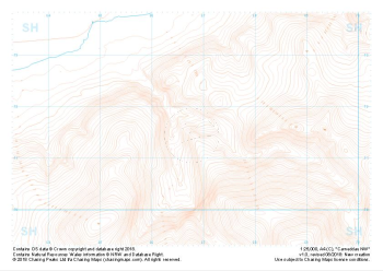
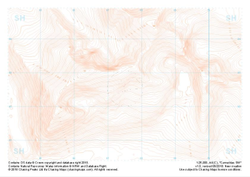
 "Carneddau East" Contour Only£4.99
1:25,000 scale map covering Carneddau East in the North Wales (approx. center SH739675).
Learn More -
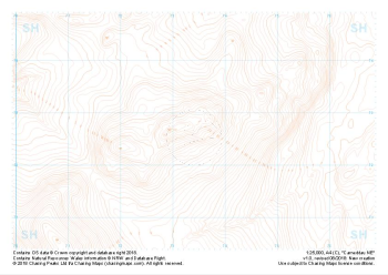
 "Carneddau NW" Contour Only£4.99
1:25,000 scale map covering Carneddau NW in the North Wales (approx. center SH668716).
Learn More -
 "Carneddau NE" Contour Only£4.99
1:25,000 scale map covering Carneddau NE in the North Wales (approx. center SH734727).
Learn More -
 "Carneddau SW" Contour Only£4.99
1:25,000 scale map covering Carneddau SW in the North Wales (approx. center SH740626).
Learn More -
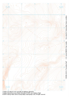
 "Carneddau SE" Contour Only£4.99
1:25,000 scale map covering Carneddau SE in the North Wales (approx. center SH675627).
Learn More -
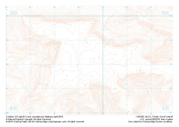 "Kinder Scout Central" Contour Only£4.99
1:25,000 scale map covering Kinder Scout Central in the Peak District (approx. center SK094880).
Learn More -
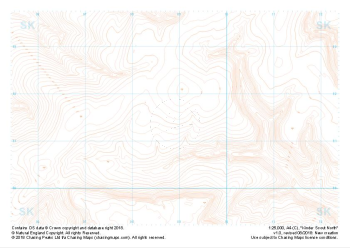 "Kinder Scout North" Contour Only£4.99
1:25,000 scale map covering Kinder Scout North in the Peak District (approx. center SK089914).
Learn More -
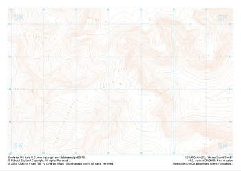 "Kinder Scout South" Contour Only£4.99
1:25,000 scale map covering Kinder Scout South in the Peak District (approx. center SK084851).
Learn More