Our purist "Contour Only" maps do exactly what it says on the label. Showing you contours at 5m or 10m intervals depending on the area, tidal lines (effectively the 0m contour) and height labels, these maps are perfect to train your terrain interpretation. As with all of our maps we also provide the national grid overlay to allow for effective taking of bearings and grid references.
Contour Only
-
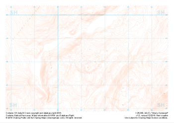 "Moel y Dyniewyd" Contour Only£4.99
1:25,000 scale map covering Moel y Dyniewyd in North Wales (approx. center SH612480).
Learn More -
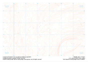
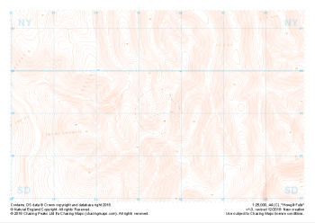 "Howgill Fells" Contour Only£4.99
1:25,000 scale map covering Howgill Fells in the Yorkshire Dales (approx. center SD654990).
Learn More -
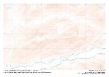 "Lochaber" Contour Only£4.99
1:25,000 scale map covering Lochaber in the Scottish Highlands (approx. center NN129627).
Learn More -
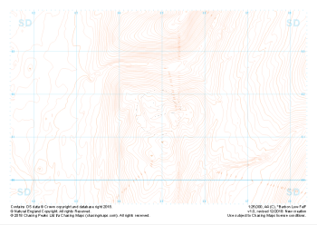 "Barbon Low Fell" Contour Only£4.99
1:25,000 scale map covering Barbon Low Fell in the Yorkshire Dales (approx. center SD649816).
Learn More -
 "Horton" Contour Only£4.99
1:25,000 scale map covering Horton in the Yorkshire Dales (approx. center SD825763).
Learn More