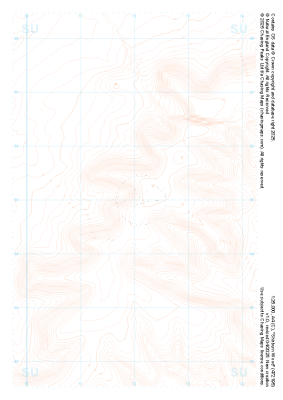
Our purist "Contour Only" maps do exactly what it says on the label. Showing you contours at 5m or 10m intervals depending on the area, tidal lines (effectively the 0m contour) and height labels, these maps are perfect to train your terrain interpretation. As with all of our maps we also provide the national grid overlay to allow for effective taking of bearings and grid references.
Contour Only
-
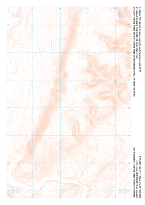 "Black Knoll" Contour Only£4.99
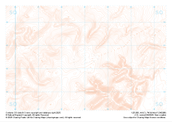
1:25,000 scale map covering Black Knoll in the Midlands (approx. center SO403902).
Learn More -
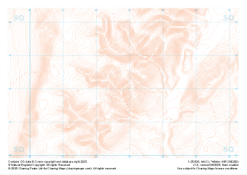 "Minton Hill" Contour Only£4.99
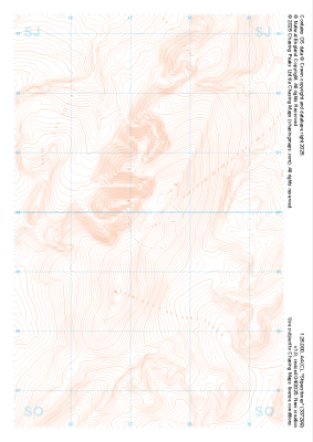
1:25,000 scale map covering Minton Hill in the Midlands (approx. center SO428922).
Learn More -
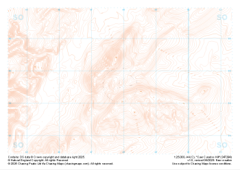 "Caer Caradoc Hill" Contour Only£4.99
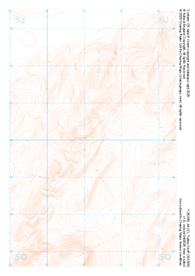
1:25,000 scale map covering Caer Caradoc Hill in the Midlands (approx. center SO479947).
Learn More -
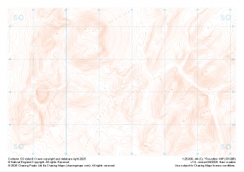 "Roundton Hill" Contour Only£4.99
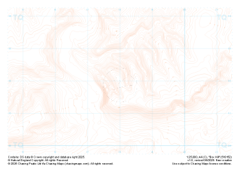
1:25,000 scale map covering Roundton Hill in the Midlands (approx. center SO317953).
Learn More -
 "Wild Moor" Contour Only£4.99
1:25,000 scale map covering Wild Moor in the Midlands (approx. center SO431965).
Learn More -
 "Stiperstones" Contour Only£4.99
1:25,000 scale map covering Stiperstones in the Midlands (approx. center SO373999).
Learn More -
 "Valley Knoll" Contour Only£4.99
1:25,000 scale map covering Valley Knoll in the Midlands (approx. center SJ312001).
Learn More -
 "Box Hill" Contour Only£4.99
1:25,000 scale map covering Box Hill in the South East (approx. center TQ180520).
Learn More -
 "Shirburn Wood" Contour Only£4.99
1:25,000 scale map covering Shirburn Wood in the South East (approx. center SU720950).
Learn More -
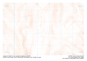 "Gleann Eanaich" Contour Only£4.99
1:25,000 scale map covering Gleann Eanaich in the Scottish Highlands (approx. center NH925032).
Learn More