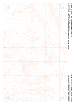
Our purist "Contour Only" maps do exactly what it says on the label. Showing you contours at 5m or 10m intervals depending on the area, tidal lines (effectively the 0m contour) and height labels, these maps are perfect to train your terrain interpretation. As with all of our maps we also provide the national grid overlay to allow for effective taking of bearings and grid references.
Contour Only
-
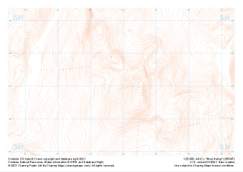 "Moel Hebog" Contour Only£4.99
1:25,000 scale map covering Moel Hebog in the North Wales (approx. center SH559471).
Learn More -
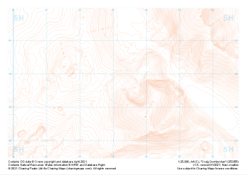 "Craig Cwmbychan" Contour Only£4.99
1:25,000 scale map covering Craig Cwmbychan in the North Wales (approx. center SH533557).
Learn More -
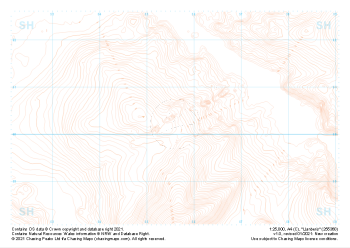 "Llanberis" Contour Only£4.99
1:25,000 scale map covering Llanberis in the North Wales (approx. center SH556603).
Learn More -
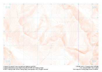 "Snowdon NW" Contour Only£4.99
1:25,000 scale map covering Snowdon NW in the North Wales (approx. center SH580568).
Learn More -
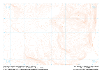 "Mynydd Gorllwyn" Contour Only£4.99
1:25,000 scale map covering Mynydd Gorllwyn in the North Wales (approx. center SH560429).
Learn More -
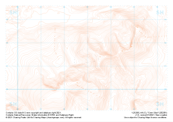 "Cwm Silyn" Contour Only£4.99
1:25,000 scale map covering Cwm Silyn in the North Wales (approx. center SH530513).
Learn More -
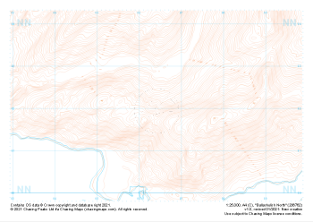 "Ballachulish North" Contour Only£4.99
1:25,000 scale map covering Ballachulish North in the Scottish Highlands (approx. center NN064621).
Learn More -
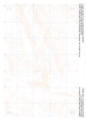
 "Challacombe Common" Contour Only£4.99
1:25,000 scale map covering Challacombe Common in the South West (approx. center SS703436).
Learn More -
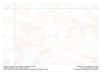 "Squallacombe" Contour Only£4.99
1:25,000 scale map covering Squallacombe in the South West (approx. center SS726381).
Learn More -
 "Furzehill Common" Contour Only£4.99
1:25,000 scale map covering Furzehill Common in the South West (approx. center SS745436).
Learn More