Our purist "Contour Only" maps do exactly what it says on the label. Showing you contours at 5m or 10m intervals depending on the area, tidal lines (effectively the 0m contour) and height labels, these maps are perfect to train your terrain interpretation. As with all of our maps we also provide the national grid overlay to allow for effective taking of bearings and grid references.
Contour Only
-
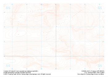
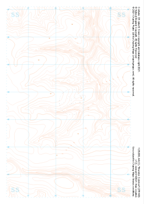 "Brendon Common" Contour Only£4.99
1:25,000 scale map covering Brendon Common in the South West (approx. center SS785436).
Learn More -
 "Mill Hill" Contour Only£4.99
1:25,000 scale map covering Mill Hill in the South West (approx. center SS836452).
Learn More -
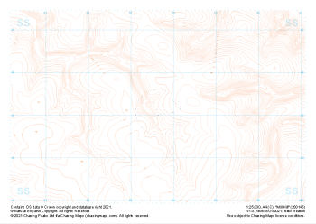
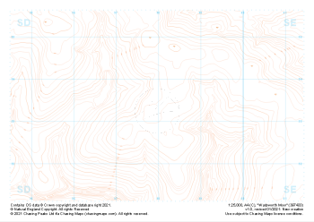
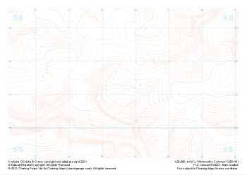 "Almsworthy Common" Contour Only£4.99
1:25,000 scale map covering Almsworthy Common in the South West (approx. center SS836413).
Learn More -
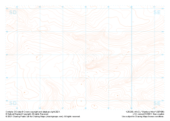 "Stanbury Moor" Contour Only£4.99
1:25,000 scale map covering Stanbury Moor in the Midlands (approx. center SD980369).
Learn More -
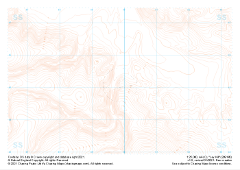
 "Dunkery Hill" Contour Only£4.99
1:25,000 scale map covering Dunkery Hill in the South West (approx. center SS899413).
Learn More -
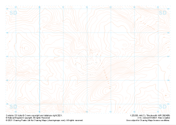
 "Wadsworth Moor" Contour Only£4.99
1:25,000 scale map covering Wadsworth Moor in the Midlands (approx. center SD980334).
Learn More -
 "Ley Hill" Contour Only£4.99
1:25,000 scale map covering Ley Hill in the South West (approx. center SS899452).
Learn More -
 "Boulsworth Hill" Contour Only£4.99
1:25,000 scale map covering Boulsworth Hill in the Midlands (approx. center SD920369).
Learn More -
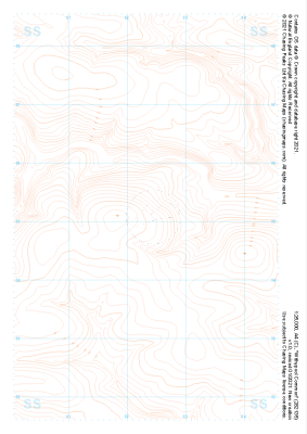 "Withypool Common" Contour Only£4.99
1:25,000 scale map covering Withypool Common in the South West (approx. center SS823351).
Learn More -
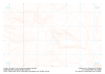 "Widdop Moor" Contour Only£4.99
1:25,000 scale map covering Widdop Moor in the Midlands (approx. center SD920334).
Learn More