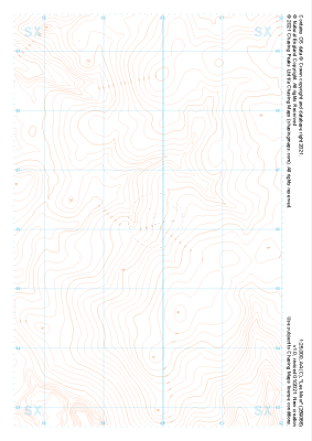
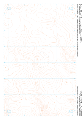
Our purist "Contour Only" maps do exactly what it says on the label. Showing you contours at 5m or 10m intervals depending on the area, tidal lines (effectively the 0m contour) and height labels, these maps are perfect to train your terrain interpretation. As with all of our maps we also provide the national grid overlay to allow for effective taking of bearings and grid references.
Contour Only
-
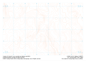 "Bellever" Contour Only£4.99
1:25,000 scale map covering Bellever in the Dartmoor (approx. center SX655770).
Learn More -
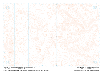
 "Haytor South" Contour Only£4.99
1:25,000 scale map covering Haytor South in the Dartmoor (approx. center SX746757).
Learn More -
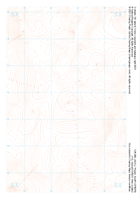
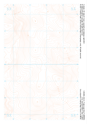
 "Haytor North" Contour Only£4.99
1:25,000 scale map covering Haytor North in the Dartmoor (approx. center SX757793).
Learn More -
 "Hexworthy" Contour Only£4.99
1:25,000 scale map covering Hexworthy in the Dartmoor (approx. center SX667734).
Learn More -
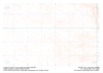 "Holne Moor" Contour Only£4.99
1:25,000 scale map covering Holne Moor in the Dartmoor (approx. center SX667695).
Learn More -
 "Ugborough Moor" Contour Only£4.99
1:25,000 scale map covering Ugborough Moor in the Dartmoor (approx. center SX657601).
Learn More -
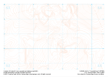 "Crownhill Down" Contour Only£4.99
1:25,000 scale map covering Crownhill Down in the Dartmoor (approx. center SX574608).
Learn More -
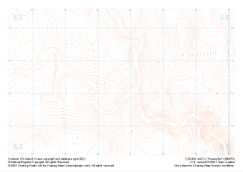
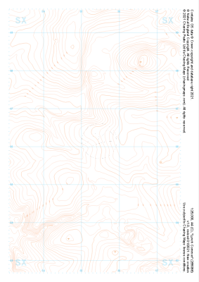 "Lynch Common" Contour Only£4.99
1:25,000 scale map covering Lynch Common in the Dartmoor (approx. center SX553661).
Learn More -
 "Lee Moor" Contour Only£4.99
1:25,000 scale map covering Lee Moor in the Dartmoor (approx. center SX598661).
Learn More -
 "Erme Plains" Contour Only£4.99
1:25,000 scale map covering Erme Plains in the Dartmoor (approx. center SX639661).
Learn More