Our purist "Contour Only" maps do exactly what it says on the label. Showing you contours at 5m or 10m intervals depending on the area, tidal lines (effectively the 0m contour) and height labels, these maps are perfect to train your terrain interpretation. As with all of our maps we also provide the national grid overlay to allow for effective taking of bearings and grid references.
Contour Only
-
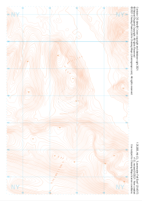 "Loweswater Fell East" Contour Only£4.99
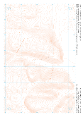
1:25,000 scale map covering Loweswater Fell East in the Lake District (approx. center NY147178).
Learn More -
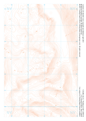
 "Honister Pass" Contour Only£4.99
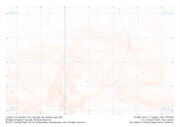
1:25,000 scale map covering Honister Pass in the Lake District (approx. center NY221125).
Learn More -
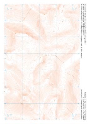
 "Rosthwaite Fell" Contour Only£4.99
1:25,000 scale map covering Rosthwaite Fell in the Lake District (approx. center NY264128).
Learn More -
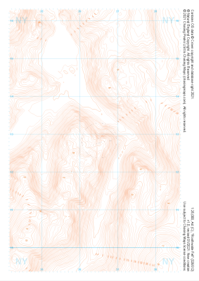
 "Wythburn Fells" Contour Only£4.99
1:25,000 scale map covering Wythburn Fells in the Lake District (approx. center NY308128).
Learn More -
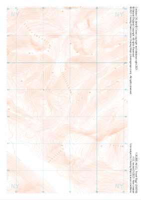 "Knott Rigg" Contour Only£4.99
1:25,000 scale map covering Knott Rigg in the Lake District (approx. center NY189186).
Learn More -
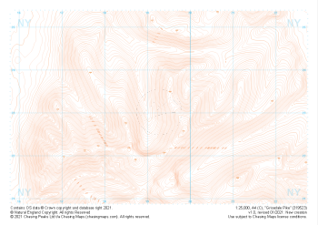 "Grisedale Pike" Contour Only£4.99
1:25,000 scale map covering Grisedale Pike in the Lake District (approx. center NY193231).
Learn More -
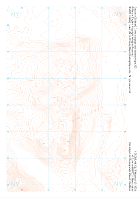 "Fellbarrow" Contour Only£4.99
1:25,000 scale map covering Fellbarrow in the Lake District (approx. center NY137242).
Learn More -
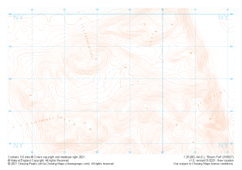 "Broom Fell" Contour Only£4.99
1:25,000 scale map covering Broom Fell in the Lake District (approx. center NY187279).
Learn More -
 "Carrock Fell" Contour Only£4.99
1:25,000 scale map covering Carrock Fell in the Lake District (approx. center NY342325).
Learn More -
 "Caldbeck Fells" Contour Only£4.99
1:25,000 scale map covering Caldbeck Fells in the Lake District (approx. center NY310361).
Learn More