Our purist "Contour Only" maps do exactly what it says on the label. Showing you contours at 5m or 10m intervals depending on the area, tidal lines (effectively the 0m contour) and height labels, these maps are perfect to train your terrain interpretation. As with all of our maps we also provide the national grid overlay to allow for effective taking of bearings and grid references.
Contour Only
-
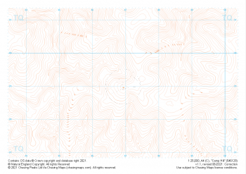
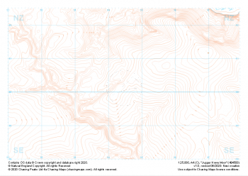 "Jugger Howe Moor" Contour Only£4.99
1:25,000 scale map covering Jugger Howe Moor in the North Yorkshire (approx. center NZ945003).
Learn More -
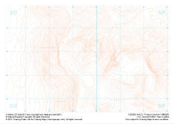
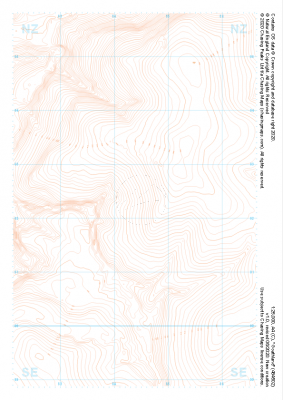 "Goathland" Contour Only£4.99
1:25,000 scale map covering Goathland in the North Yorkshire (approx. center NZ844023).
Learn More -
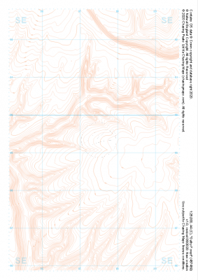 "Dalby Forest" Contour Only£4.99
1:25,000 scale map covering Dalby Forest in the North Yorkshire (approx. center SE874893).
Learn More -
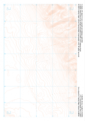 "Gellifor" Contour Only£4.99
1:25,000 scale map covering Gellifor in the North Wales (approx. center SJ123635).
Learn More -
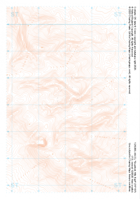
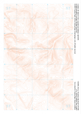 "Quantock Hills West" Contour Only£4.99
1:25,000 scale map covering Quantock Hills West in the South West (approx. center ST134395).
Learn More -
 "Quantock Hills East" Contour Only£4.99
1:25,000 scale map covering Quantock Hills East in the South West (approx. center ST171372).
Learn More -
 "Cleeve Common" Contour Only£4.99
1:25,000 scale map covering Cleeve Common in the South West (approx. center SO996257).
Learn More -
 "Camp Hill" Contour Only£4.99
1:25,000 scale map covering Camp Hill in the South East (approx. center TQ469290).
Learn More -
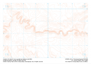 "Eurotunnel Terminal" Contour Only£4.99
1:25,000 scale map covering Eurotunnel Terminal in the South East (approx. center TR198382).
Learn More -
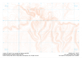 "QECP" Contour Only£4.99
1:25,000 scale map covering QECP in the South Downs (approx. center SU720192).
Learn More