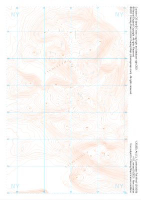
Our purist "Contour Only" maps do exactly what it says on the label. Showing you contours at 5m or 10m intervals depending on the area, tidal lines (effectively the 0m contour) and height labels, these maps are perfect to train your terrain interpretation. As with all of our maps we also provide the national grid overlay to allow for effective taking of bearings and grid references.
Contour Only
-
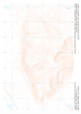 "Black Combe" Contour Only£4.99
1:25,000 scale map covering Black Combe in the Lake District (approx. center SD127857).
Learn More -
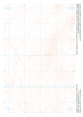 "Corney Fell" Contour Only£4.99
1:25,000 scale map covering Corney Fell in the Lake District (approx. center SD130918).
Learn More -
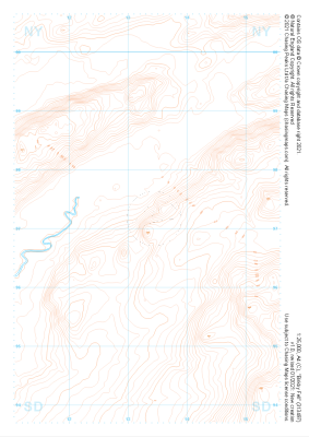 "Birkby Fell" Contour Only£4.99
1:25,000 scale map covering Birkby Fell in the Lake District (approx. center SD133972).
Learn More -
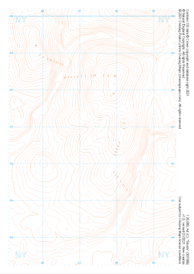
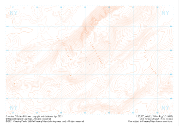 "Whin Rigg" Contour Only£4.99
1:25,000 scale map covering Whin Rigg in the Lake District (approx. center NY152026).
Learn More -
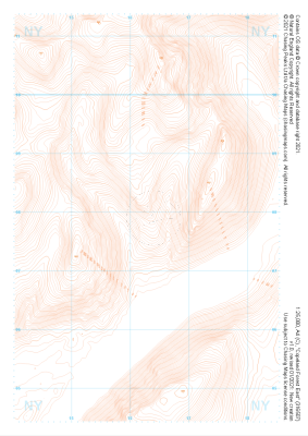 "Copeland Forest East" Contour Only£4.99
1:25,000 scale map covering Copeland Forest East in the Lake District (approx. center NY163079).
Learn More -
 "Copeland Forest West" Contour Only£4.99
1:25,000 scale map covering Copeland Forest West in the Lake District (approx. center NY119079).
Learn More -
 "Stords" Contour Only£4.99
1:25,000 scale map covering Stords in the Lake District (approx. center NY073067).
Learn More -
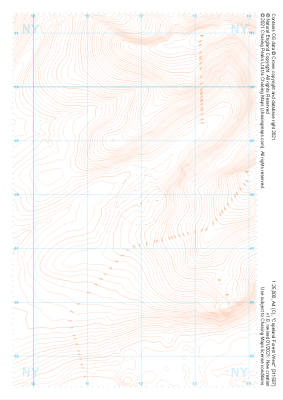
 "Ennerdale Fell" Contour Only£4.99
1:25,000 scale map covering Ennerdale Fell in the Lake District (approx. center NY129131).
Learn More -
 "Lankrigg Moss" Contour Only£4.99
1:25,000 scale map covering Lankrigg Moss in the Lake District (approx. center NY073129).
Learn More -
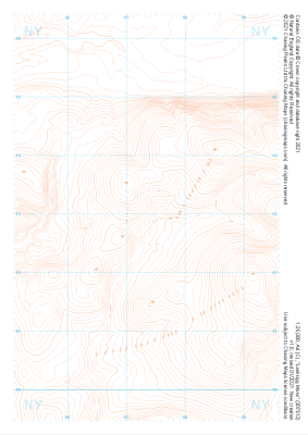
 "Loweswater Fell West" Contour Only£4.99
1:25,000 scale map covering Loweswater Fell West in the Lake District (approx. center NY109185).
Learn More