Our purist "Contour Only" maps do exactly what it says on the label. Showing you contours at 5m or 10m intervals depending on the area, tidal lines (effectively the 0m contour) and height labels, these maps are perfect to train your terrain interpretation. As with all of our maps we also provide the national grid overlay to allow for effective taking of bearings and grid references.
Contour Only
-
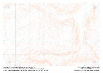
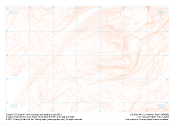 "Moelwyn Bach" Contour Only£4.99
1:25,000 scale map covering Moelwyn Bach in the North Wales (approx. center SH645438).
Learn More -
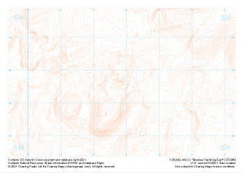 "Blaenau Ffestiniog East" Contour Only£4.99
1:25,000 scale map covering Blaenau Ffestiniog East in the North Wales (approx. center SH729456).
Learn More -
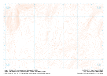 "Llyn Conwy" Contour Only£4.99
1:25,000 scale map covering Llyn Conwy in the North Wales (approx. center SH793456).
Learn More -
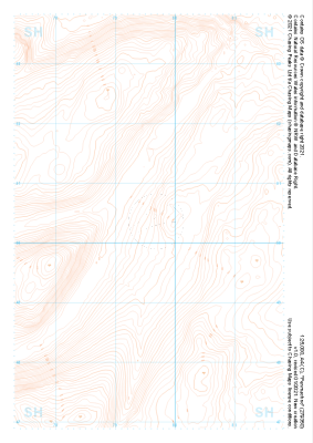 "Penmachno" Contour Only£4.99
1:25,000 scale map covering Penmachno in the North Wales (approx. center SH796504).
Learn More -
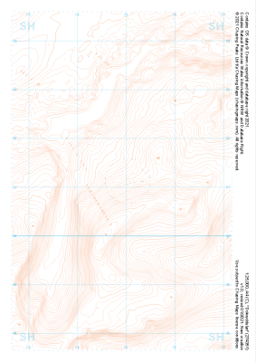
 "Betws-y-coed" Contour Only£4.99
1:25,000 scale map covering Betws-y-coed in the North Wales (approx. center SH776554).
Learn More -
 "Dolwyddelan" Contour Only£4.99
1:25,000 scale map covering Dolwyddelan in the North Wales (approx. center SH749511).
Learn More -
 "Llyn Morwynion" Contour Only£4.99
1:25,000 scale map covering Llyn Morwynion in the North Wales (approx. center SH735417).
Learn More -
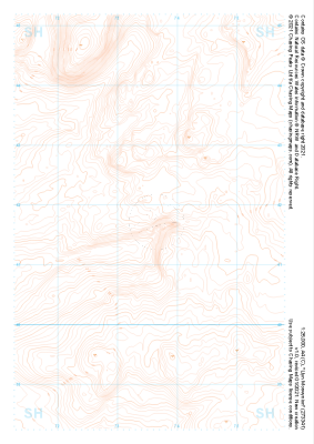
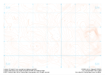 "Migneint" Contour Only£4.99
1:25,000 scale map covering Migneint in the North Wales (approx. center SH794414).
Learn More -
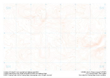 "Moel y Croesau" Contour Only£4.99
1:25,000 scale map covering Moel y Croesau in the North Wales (approx. center SH736377).
Learn More -
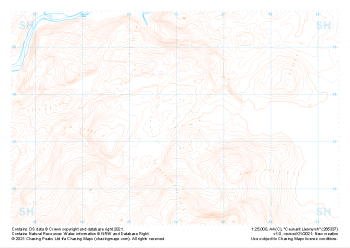 "Ceunant Llennyrch" Contour Only£4.99
1:25,000 scale map covering Ceunant Llennyrch in the North Wales (approx. center SH660375).
Learn More