Our purist "Contour Only" maps do exactly what it says on the label. Showing you contours at 5m or 10m intervals depending on the area, tidal lines (effectively the 0m contour) and height labels, these maps are perfect to train your terrain interpretation. As with all of our maps we also provide the national grid overlay to allow for effective taking of bearings and grid references.
Contour Only
-
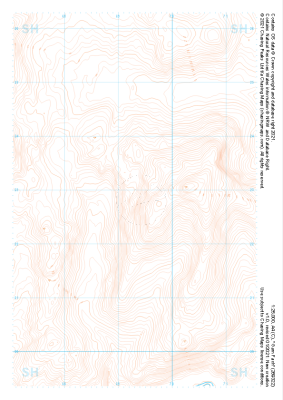
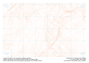 "Rhinogs North" Contour Only£4.99
1:25,000 scale map covering Rhinogs North in the North Wales (approx. center SH648339).
Learn More -
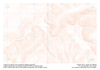
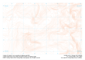 "Rhinogs SW" Contour Only£4.99
1:25,000 scale map covering Rhinogs SW in the North Wales (approx. center SH637260).
Learn More -
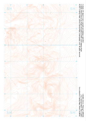 "Rhinogs" Contour Only£4.99
1:25,000 scale map covering Rhinogs in the North Wales (approx. center SH658291).
Learn More -
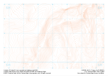 "Craig y Grut" Contour Only£4.99
1:25,000 scale map covering Craig y Grut in the North Wales (approx. center SH641218).
Learn More -
 "Garn Fach" Contour Only£4.99
1:25,000 scale map covering Garn Fach in the North Wales (approx. center SH693228).
Learn More -
 "Pen y Brynnfforchog" Contour Only£4.99
1:25,000 scale map covering Pen y Brynnfforchog in the North Wales (approx. center SH802187).
Learn More -
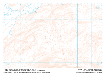
 "Waun-oer" Contour Only£4.99
1:25,000 scale map covering Waun-oer in the North Wales (approx. center SH802145).
Learn More -
 "Dolgellau West" Contour Only£4.99
1:25,000 scale map covering Dolgellau West in the North Wales (approx. center SH683159).
Learn More -
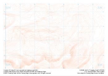 "Dolgellau South" Contour Only£4.99
1:25,000 scale map covering Dolgellau South in the North Wales (approx. center SH733153).
Learn More -
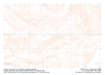 "Llyn Barfog" Contour Only£4.99
1:25,000 scale map covering Llyn Barfog in the North Wales (approx. center SN647999).
Learn More