Our purist "Contour Only" maps do exactly what it says on the label. Showing you contours at 5m or 10m intervals depending on the area, tidal lines (effectively the 0m contour) and height labels, these maps are perfect to train your terrain interpretation. As with all of our maps we also provide the national grid overlay to allow for effective taking of bearings and grid references.
Contour Only
-
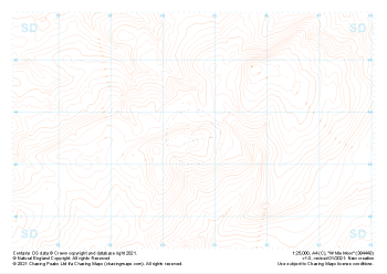
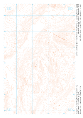
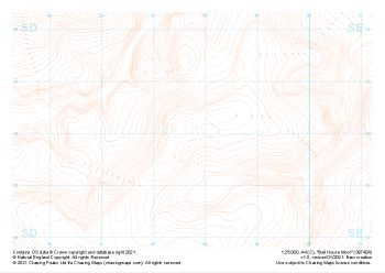 "Bell House Moor" Contour Only£4.99
1:25,000 scale map covering Bell House Moor in the Midlands (approx. center SD977241).
Learn More -
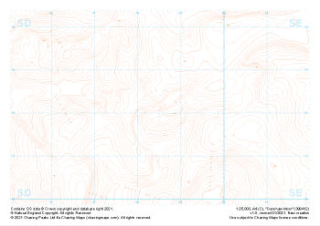
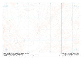 "Sowland Moor" Contour Only£4.99
1:25,000 scale map covering Sowland Moor in the Midlands (approx. center SD982201).
Learn More -
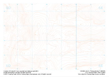 "Rishworth Moor" Contour Only£4.99
1:25,000 scale map covering Rishworth Moor in the Midlands (approx. center SD985163).
Learn More -
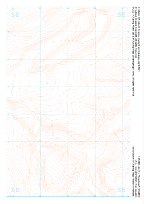 "Deanhead" Contour Only£4.99
1:25,000 scale map covering Deanhead in the Midlands (approx. center SE040134).
Learn More -
 "Denshaw Moor" Contour Only£4.99
1:25,000 scale map covering Denshaw Moor in the Midlands (approx. center SD985121).
Learn More -
 "White Moor" Contour Only£4.99
1:25,000 scale map covering White Moor in the Midlands (approx. center SD846437).
Learn More -
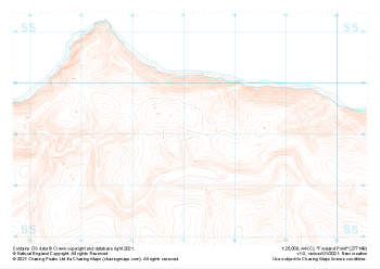 "Foreland Point" Contour Only£4.99
1:25,000 scale map covering Foreland Point in the South West (approx. center SS771491).
Learn More -
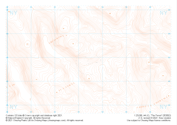 "The Forest" Contour Only£4.99
1:25,000 scale map covering The Forest in the Lake District (approx. center NY534029).
Learn More -
 "Dunnerdale Fells" Contour Only£4.99
1:25,000 scale map covering Dunnerdale Fells in the Lake District (approx. center SD214933).
Learn More -
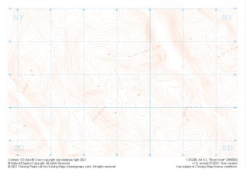 "Brunt Knott" Contour Only£4.99
1:25,000 scale map covering Brunt Knott in the Lake District (approx. center NY492008).
Learn More