Our purist "Contour Only" maps do exactly what it says on the label. Showing you contours at 5m or 10m intervals depending on the area, tidal lines (effectively the 0m contour) and height labels, these maps are perfect to train your terrain interpretation. As with all of our maps we also provide the national grid overlay to allow for effective taking of bearings and grid references.
Contour Only
-
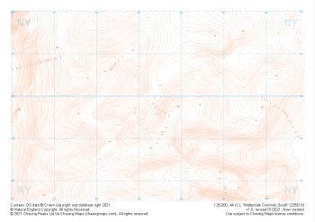 "Matterdale Common South" Contour Only£4.99
1:25,000 scale map covering Matterdale Common South in the Lake District (approx. center NY354198).
Learn More -
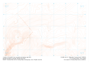 "Matterdale Common North" Contour Only£4.99
1:25,000 scale map covering Matterdale Common North in the Lake District (approx. center NY352237).
Learn More -
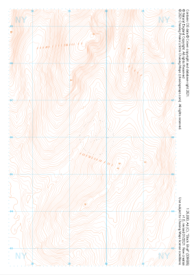 "Stock Ghyll" Contour Only£4.99
1:25,000 scale map covering Stock Ghyll in the Lake District (approx. center NY396060).
Learn More -
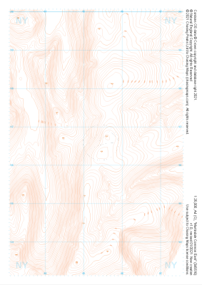
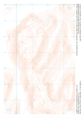 "Martindale Common West" Contour Only£4.99
1:25,000 scale map covering Martindale Common West in the Lake District (approx. center NY415166).
Learn More -
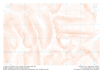 "High Street" Contour Only£4.99
1:25,000 scale map covering High Street in the Lake District (approx. center NY439113).
Learn More -
 "Martindale Common East" Contour Only£4.99
1:25,000 scale map covering Martindale Common East in the Lake District (approx. center NY453166).
Learn More -
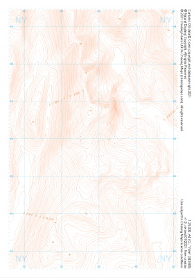 "Yoke" Contour Only£4.99
1:25,000 scale map covering Yoke in the Lake District (approx. center NY438060).
Learn More -
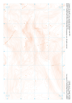 "Sadgill" Contour Only£4.99
1:25,000 scale map covering Sadgill in the Lake District (approx. center NY480060).
Learn More -
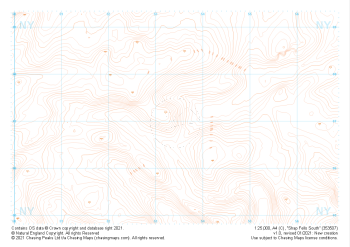 "Shap Fells South" Contour Only£4.99
1:25,000 scale map covering Shap Fells South in the Lake District (approx. center NY534071).
Learn More -
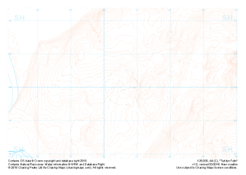 Free Sample "Tyddyn Felin" Contour only£0.00
1:25,000 scale map covering the area around Tyddyn Felin in North Wales (approx. center SH605295).
Part of our FREE sample maps range, this map featuring our "Contour Only" features and symbology is the perfect showcase for our "off-the-shelf" contour mapping.
Learn More