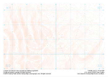
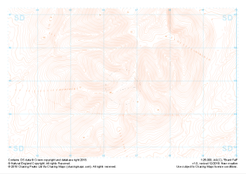
Our purist "Contour Only" maps do exactly what it says on the label. Showing you contours at 5m or 10m intervals depending on the area, tidal lines (effectively the 0m contour) and height labels, these maps are perfect to train your terrain interpretation. As with all of our maps we also provide the national grid overlay to allow for effective taking of bearings and grid references.
Contour Only
-
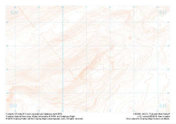 "Carnedd Moel Siabod" Contour Only£4.99
1:25,000 scale map covering Carnedd Moel Siabod in the North Wales (approx. center SH711554).
Learn More -
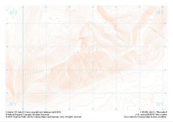 "Blencathra" Contour Only£4.99
1:25,000 scale map covering Blencathra in the Lake District (approx. center NY327275).
Learn More -
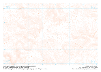
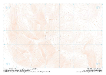 "Skiddaw" Contour Only£4.99
1:25,000 scale map covering Skiddaw in the Lake District (approx. center NY265286).
Learn More -
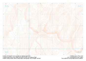 "Pen y Fan" Contour Only£4.99
1:25,000 scale map covering Pen y Fan in the South Wales (approx. center SO012216).
Learn More -
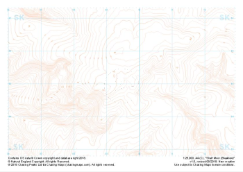 "Shelf Moor (Bleaklow)" Contour Only£4.99
1:25,000 scale map covering Shelf Moor (Bleaklow) in the Peak District (approx. center SK095949).
Learn More -
 "Schiehallion" Contour Only£4.99
1:25,000 scale map covering Schiehallion in the Scottish Highlands (approx. center NN717547).
Learn More -
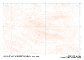
 "Knott" Contour Only£4.99
1:25,000 scale map covering Knott in the Lake District (approx. center NY296330).
Learn More -
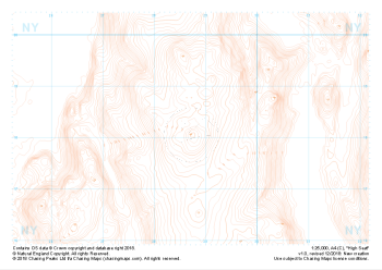 "High Seat" Contour Only£4.99
1:25,000 scale map covering High Seat in the Lake District (approx. center NY287181).
Learn More -
 "Green Bell" Contour Only£4.99
1:25,000 scale map covering Green Bell in the Yorkshire Dales (approx. center NY699011).
Learn More -
 "Brant Fell" Contour Only£4.99
1:25,000 scale map covering Brant Fell in the Yorkshire Dales (approx. center SD666948).
Learn More