Our purist "Contour Only" maps do exactly what it says on the label. Showing you contours at 5m or 10m intervals depending on the area, tidal lines (effectively the 0m contour) and height labels, these maps are perfect to train your terrain interpretation. As with all of our maps we also provide the national grid overlay to allow for effective taking of bearings and grid references.
Contour Only
-
 "Creag Meagaidh West" Contour Only£4.99
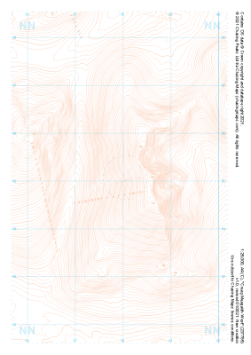
1:25,000 scale map covering Creag Meagaidh West in the Scottish Highlands (approx. center NN379851).
Learn More -
 "Creag Meagaidh East" Contour Only£4.99
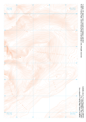
1:25,000 scale map covering Creag Meagaidh East in the Scottish Highlands (approx. center NN455871).
Learn More -
 "Braeroy Forest South" Contour Only£4.99
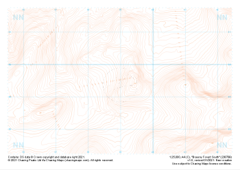
1:25,000 scale map covering Braeroy Forest South in the Scottish Highlands (approx. center NN390895).
Learn More -
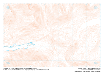
 "Ring of Steall" Contour Only£4.99
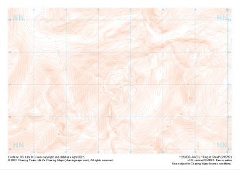
1:25,000 scale map covering Ring of Steall in the Scottish Highlands (approx. center NN167671).
Learn More -
 "Nevis Forest" Contour Only£4.99
1:25,000 scale map covering Nevis Forest in the Scottish Highlands (approx. center NN112682).
Learn More -
 "Beinn na Gucaig" Contour Only£4.99
1:25,000 scale map covering Beinn na Gucaig in the Scottish Highlands (approx. center NN077660).
Learn More -
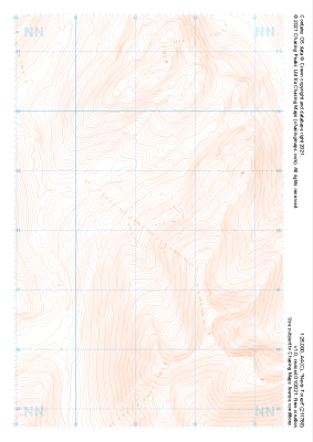
 "Aonach Beag" Contour Only£4.99
1:25,000 scale map covering Aonach Beag in the Scottish Highlands (approx. center NN200726).
Learn More -
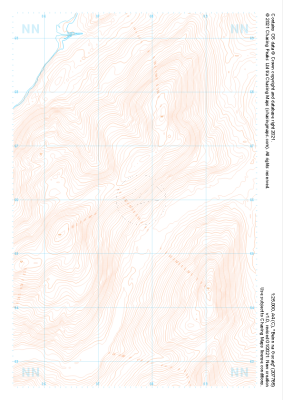
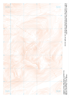 "Binnein Mor" Contour Only£4.99
1:25,000 scale map covering Binnein Mor in the Scottish Highlands (approx. center NN217665).
Learn More -
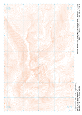
 "Kinlochleven" Contour Only£4.99
1:25,000 scale map covering Kinlochleven in the Scottish Highlands (approx. center NN196628).
Learn More -
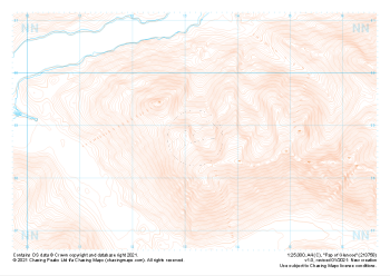 "Pap of Glencoe" Contour Only£4.99
1:25,000 scale map covering Pap of Glencoe in the Scottish Highlands (approx. center NN132589).
Learn More