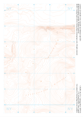
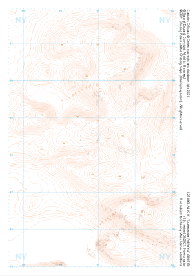
Our "Landform" maps show you the contours with some rocky detail thrown in. This map is particularly suited to navigating by contours in mountaineous areas where cliffs and rocky outcrops can present serious hazards. Alongside 5m or 10m contours and rocky features, the map features tidal lines (effectively the 0m contour), height labels and a national grid overlay to aid the use of bearings and grid references.
Landform
-
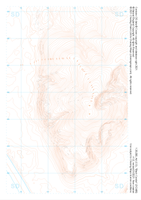 "Black Combe" Landform£4.99
1:25,000 scale map covering Black Combe in the Lake District (approx. center SD127857).
Learn More -
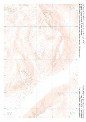
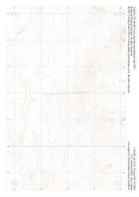 "Corney Fell" Landform£4.99
1:25,000 scale map covering Corney Fell in the Lake District (approx. center SD130918).
Learn More -
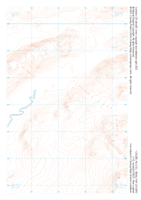 "Birkby Fell" Landform£4.99
1:25,000 scale map covering Birkby Fell in the Lake District (approx. center SD133972).
Learn More -
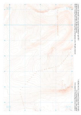
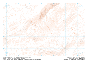 "Whin Rigg" Landform£4.99
1:25,000 scale map covering Whin Rigg in the Lake District (approx. center NY152026).
Learn More -
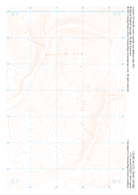
 "Copeland Forest East" Landform£4.99
1:25,000 scale map covering Copeland Forest East in the Lake District (approx. center NY163079).
Learn More -
 "Copeland Forest West" Landform£4.99
1:25,000 scale map covering Copeland Forest West in the Lake District (approx. center NY119079).
Learn More -
 "Stords" Landform£4.99
1:25,000 scale map covering Stords in the Lake District (approx. center NY073067).
Learn More -
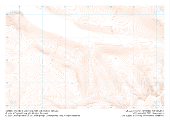 "Ennerdale Fell" Landform£4.99
1:25,000 scale map covering Ennerdale Fell in the Lake District (approx. center NY129131).
Learn More -
 "Lankrigg Moss" Landform£4.99
1:25,000 scale map covering Lankrigg Moss in the Lake District (approx. center NY073129).
Learn More -
 "Loweswater Fell West" Landform£4.99
1:25,000 scale map covering Loweswater Fell West in the Lake District (approx. center NY109185).
Learn More