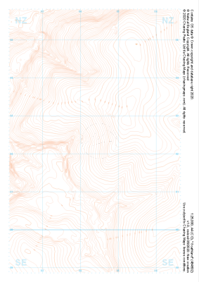
Our "Landform" maps show you the contours with some rocky detail thrown in. This map is particularly suited to navigating by contours in mountaineous areas where cliffs and rocky outcrops can present serious hazards. Alongside 5m or 10m contours and rocky features, the map features tidal lines (effectively the 0m contour), height labels and a national grid overlay to aid the use of bearings and grid references.
Landform
-
 "Black Knoll" Landform£4.99
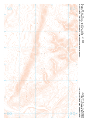
1:25,000 scale map covering Black Knoll in the Midlands (approx. center SO403902).
Learn More -
 "Minton Hill" Landform£4.99
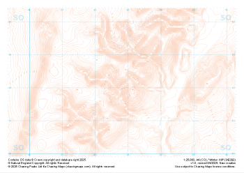
1:25,000 scale map covering Minton Hill in the Midlands (approx. center SO428922).
Learn More -
 "Caer Caradoc Hill" Landform£4.99
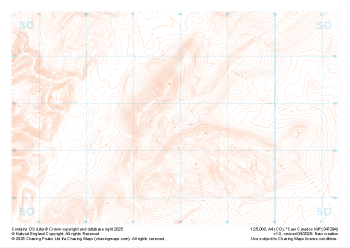
1:25,000 scale map covering Caer Caradoc Hill in the Midlands (approx. center SO479947).
Learn More -
 "Roundton Hill" Landform£4.99
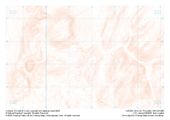
1:25,000 scale map covering Roundton Hill in the Midlands (approx. center SO317953).
Learn More -
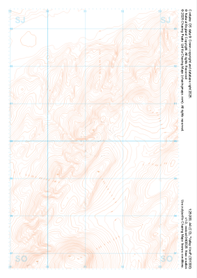
 "Wild Moor" Landform£4.99
1:25,000 scale map covering Wild Moor in the Midlands (approx. center SO431965).
Learn More -
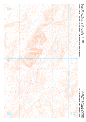 "Stiperstones" Landform£4.99
1:25,000 scale map covering Stiperstones in the Midlands (approx. center SO373999).
Learn More -
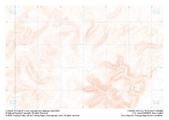
 "Valley Knoll" Landform£4.99
1:25,000 scale map covering Valley Knoll in the Midlands (approx. center SJ312001).
Learn More -
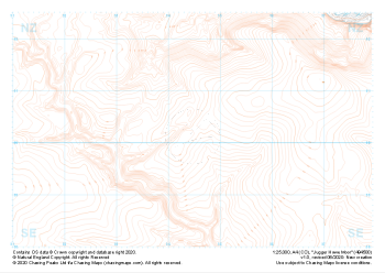 "Jugger Howe Moor" Landform£4.99
1:25,000 scale map covering Jugger Howe Moor in the North Yorkshire (approx. center NZ945003).
Learn More -
 "Goathland" Landform£4.99
1:25,000 scale map covering Goathland in the North Yorkshire (approx. center NZ844023).
Learn More -
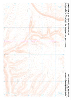 "Dalby Forest" Landform£4.99
1:25,000 scale map covering Dalby Forest in the North Yorkshire (approx. center SE874893).
Learn More