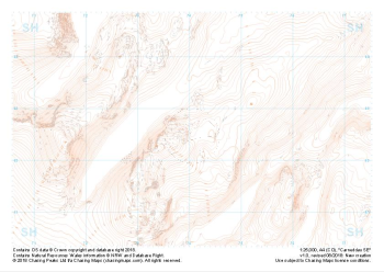
Our "Landform" maps show you the contours with some rocky detail thrown in. This map is particularly suited to navigating by contours in mountaineous areas where cliffs and rocky outcrops can present serious hazards. Alongside 5m or 10m contours and rocky features, the map features tidal lines (effectively the 0m contour), height labels and a national grid overlay to aid the use of bearings and grid references.
Landform
-
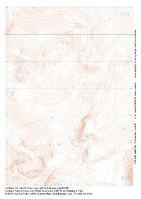 "Carneddau Central" Landform£4.99
1:25,000 scale map covering Carneddau Central in the North Wales (approx. center SH693677).
Learn More -
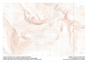
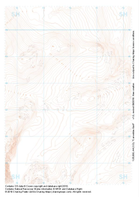 "Carneddau East" Landform£4.99
1:25,000 scale map covering Carneddau East in the North Wales (approx. center SH739675).
Learn More -
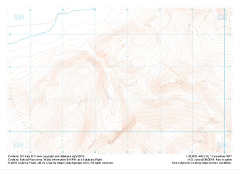 "Carneddau NW" Landform£4.99
1:25,000 scale map covering Carneddau NW in the North Wales (approx. center SH668716).
Learn More -
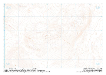 "Carneddau NE" Landform£4.99
1:25,000 scale map covering Carneddau NE in the North Wales (approx. center SH734727).
Learn More -
 "Carneddau SW" Landform£4.99
1:25,000 scale map covering Carneddau SW in the North Wales (approx. center SH740626).
Learn More -
 "Carneddau SE" Landform£4.99
1:25,000 scale map covering Carneddau SE in the North Wales (approx. center SH675627).
Learn More -
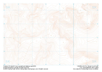
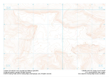 "Kinder Scout Central" Landform£4.99
1:25,000 scale map covering Kinder Scout Central in the Peak District (approx. center SK094880).
Learn More -
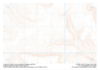 "Kinder Scout North" Landform£4.99
1:25,000 scale map covering Kinder Scout North in the Peak District (approx. center SK089914).
Learn More -
 "Kinder Scout South" Landform£4.99
1:25,000 scale map covering Kinder Scout South in the Peak District (approx. center SK084851).
Learn More -
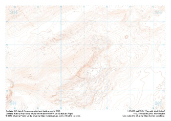 "Carnedd Moel Siabod" Landform£4.99
1:25,000 scale map covering Carnedd Moel Siabod in the North Wales (approx. center SH711554).
Learn More