Our "Landform" maps show you the contours with some rocky detail thrown in. This map is particularly suited to navigating by contours in mountaineous areas where cliffs and rocky outcrops can present serious hazards. Alongside 5m or 10m contours and rocky features, the map features tidal lines (effectively the 0m contour), height labels and a national grid overlay to aid the use of bearings and grid references.
Landform
-
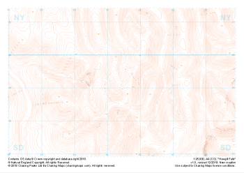 "Howgill Fells" Landform£4.99
1:25,000 scale map covering Howgill Fells in the Yorkshire Dales (approx. center SD654990).
Learn More -
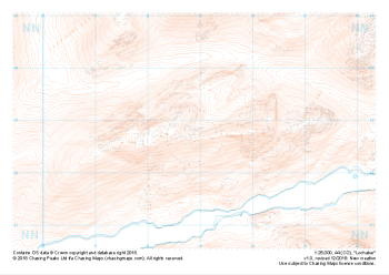 "Lochaber" Landform£4.99
1:25,000 scale map covering Lochaber in the Scottish Highlands (approx. center NN129627).
Learn More -
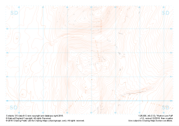 "Barbon Low Fell" Landform£4.99
1:25,000 scale map covering Barbon Low Fell in the Yorkshire Dales (approx. center SD649816).
Learn More -
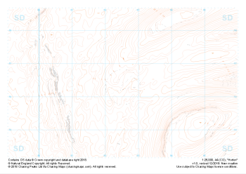 "Horton" Landform£4.99
1:25,000 scale map covering Horton in the Yorkshire Dales (approx. center SD825763).
Learn More