Our "Landform+" range is only available in England and Wales and is almost identical to the "Landform" range. In addition to the features shown in the "Landform" range we have included areas of Access Land on the map. These are shown in the familiar outdoor map style of a yellow tint over the map. In Scotland the access situation does not necessitate the existance of Access Land and therefore there is nothing for us to show.
Landform+
-
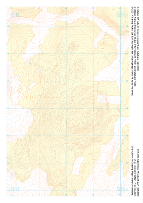
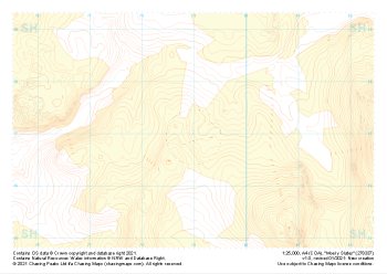 "Moel y Slates" Landform+£4.99
1:25,000 scale map covering Moel y Slates in the North Wales (approx. center SH790371).
Learn More -
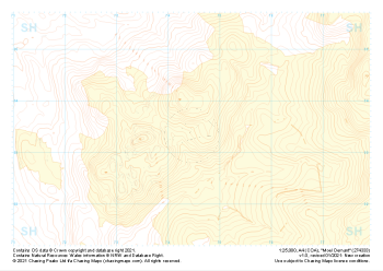 "Moel Oernant" Landform+£4.99
1:25,000 scale map covering Moel Oernant in the North Wales (approx. center SH745335).
Learn More -
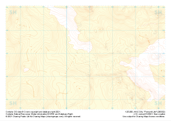 "Pennant-Lliw" Landform+£4.99
1:25,000 scale map covering Pennant-Lliw in the North Wales (approx. center SH808328).
Learn More -
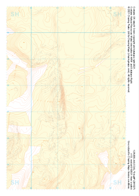 "Dduallt" Landform+£4.99
1:25,000 scale map covering Dduallt in the North Wales (approx. center SH813275).
Learn More -
 "Rhobell Fawr" Landform+£4.99
1:25,000 scale map covering Rhobell Fawr in the North Wales (approx. center SH781263).
Learn More -
 "Moel Hebog" Landform+£4.99
1:25,000 scale map covering Moel Hebog in the North Wales (approx. center SH559471).
Learn More -
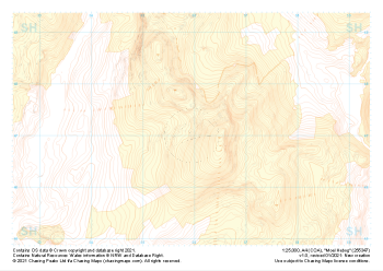
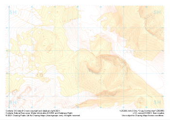 "Craig Cwmbychan" Landform+£4.99
1:25,000 scale map covering Craig Cwmbychan in the North Wales (approx. center SH533557).
Learn More -
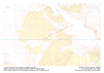 "Llanberis" Landform+£4.99
1:25,000 scale map covering Llanberis in the North Wales (approx. center SH556603).
Learn More -
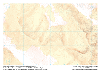 "Snowdon NW" Landform+£4.99
1:25,000 scale map covering Snowdon NW in the North Wales (approx. center SH580568).
Learn More -
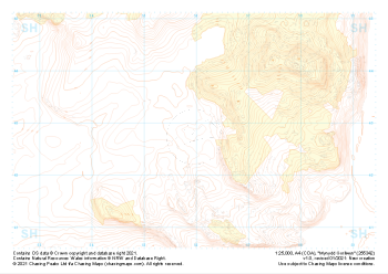 "Mynydd Gorllwyn" Landform+£4.99
1:25,000 scale map covering Mynydd Gorllwyn in the North Wales (approx. center SH560429).
Learn More