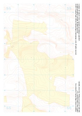
Our "Landform+" range is only available in England and Wales and is almost identical to the "Landform" range. In addition to the features shown in the "Landform" range we have included areas of Access Land on the map. These are shown in the familiar outdoor map style of a yellow tint over the map. In Scotland the access situation does not necessitate the existance of Access Land and therefore there is nothing for us to show.
Landform+
-
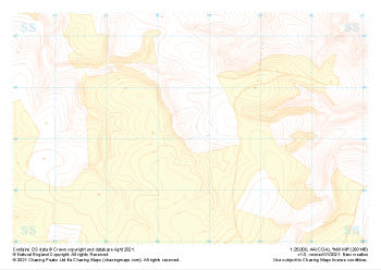 "Mill Hill" Landform+£4.99
1:25,000 scale map covering Mill Hill in the South West (approx. center SS836452).
Learn More -
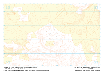 "Almsworthy Common" Landform+£4.99
1:25,000 scale map covering Almsworthy Common in the South West (approx. center SS836413).
Learn More -
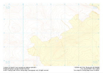
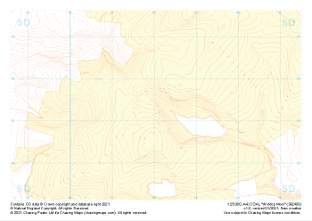
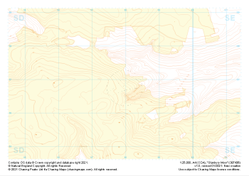 "Stanbury Moor" Landform+£4.99
1:25,000 scale map covering Stanbury Moor in the Midlands (approx. center SD980369).
Learn More -
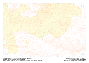 "Dunkery Hill" Landform+£4.99
1:25,000 scale map covering Dunkery Hill in the South West (approx. center SS899413).
Learn More -
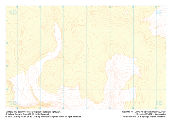 "Wadsworth Moor" Landform+£4.99
1:25,000 scale map covering Wadsworth Moor in the Midlands (approx. center SD980334).
Learn More -
 "Ley Hill" Landform+£4.99
1:25,000 scale map covering Ley Hill in the South West (approx. center SS899452).
Learn More -
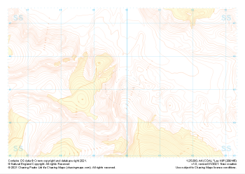
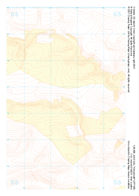
 "Boulsworth Hill" Landform+£4.99
1:25,000 scale map covering Boulsworth Hill in the Midlands (approx. center SD920369).
Learn More -
 "Withypool Common" Landform+£4.99
1:25,000 scale map covering Withypool Common in the South West (approx. center SS823351).
Learn More -
 "Widdop Moor" Landform+£4.99
1:25,000 scale map covering Widdop Moor in the Midlands (approx. center SD920334).
Learn More -
 "Simonsbath" Landform+£4.99
1:25,000 scale map covering Simonsbath in the South West (approx. center SS776366).
Learn More