Our "Landform+" range is only available in England and Wales and is almost identical to the "Landform" range. In addition to the features shown in the "Landform" range we have included areas of Access Land on the map. These are shown in the familiar outdoor map style of a yellow tint over the map. In Scotland the access situation does not necessitate the existance of Access Land and therefore there is nothing for us to show.
Landform+
-
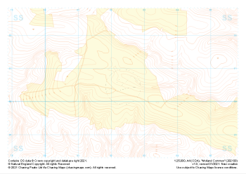 "Molland Common" Landform+£4.99
1:25,000 scale map covering Molland Common in the South West (approx. center SS824306).
Learn More -
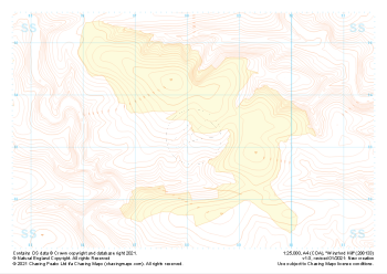 "Winsford Hill" Landform+£4.99
1:25,000 scale map covering Winsford Hill in the South West (approx. center SS881333).
Learn More -
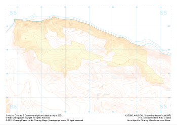 "Selworthy Beacon" Landform+£4.99
1:25,000 scale map covering Selworthy Beacon in the South West (approx. center SS930476).
Learn More -
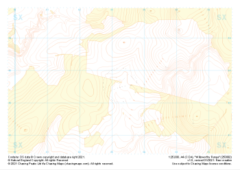 "Willsworthy Range" Landform+£4.99
1:25,000 scale map covering Willsworthy Range in the Dartmoor (approx. center SX532827).
Learn More -
 "Sourton Tors" Landform+£4.99
1:25,000 scale map covering Sourton Tors in the Dartmoor (approx. center SX550899).
Learn More -
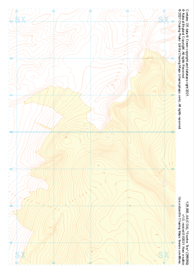
 "Cosdon Hill" Landform+£4.99
1:25,000 scale map covering Cosdon Hill in the Dartmoor (approx. center SX644908).
Learn More -
 "Fernworthy North" Landform+£4.99
1:25,000 scale map covering Fernworthy North in the Dartmoor (approx. center SX655855).
Learn More -
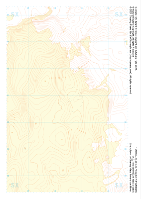
 "Hameldown Tor" Landform+£4.99
1:25,000 scale map covering Hameldown Tor in the Dartmoor (approx. center SX705809).
Learn More -
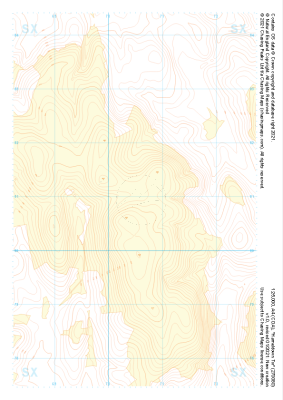
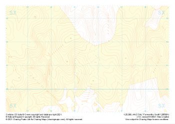 "Fernworthy South" Landform+£4.99
1:25,000 scale map covering Fernworthy South in the Dartmoor (approx. center SX655813).
Learn More -
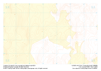
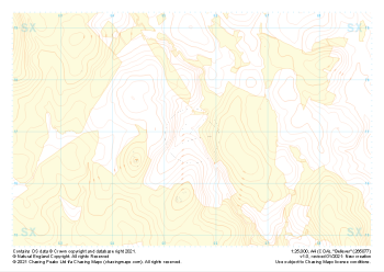 "Bellever" Landform+£4.99
1:25,000 scale map covering Bellever in the Dartmoor (approx. center SX655770).
Learn More