Our "Landform+" range is only available in England and Wales and is almost identical to the "Landform" range. In addition to the features shown in the "Landform" range we have included areas of Access Land on the map. These are shown in the familiar outdoor map style of a yellow tint over the map. In Scotland the access situation does not necessitate the existance of Access Land and therefore there is nothing for us to show.
Landform+
-
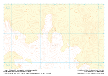 "Stall Moor South" Landform+£4.99
1:25,000 scale map covering Stall Moor South in the Dartmoor (approx. center SX619618).
Learn More -
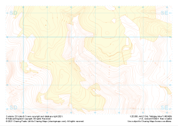
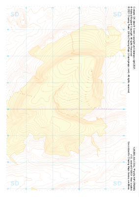
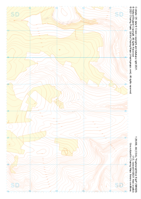 "Heptonstall Moor East" Landform+£4.99
1:25,000 scale map covering Heptonstall Moor East in the Midlands (approx. center SD954284).
Learn More -
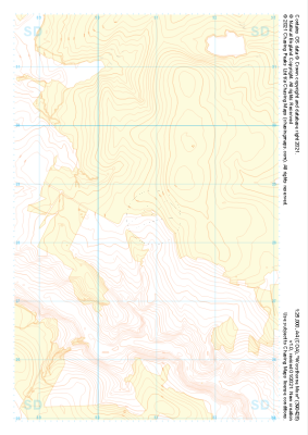
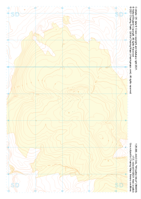
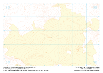 "Stott Hill Moor" Landform+£4.99
1:25,000 scale map covering Stott Hill Moor in the Midlands (approx. center SD975407).
Learn More -
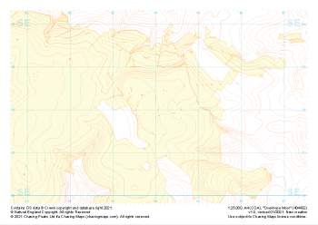 "Oxenhope Moor" Landform+£4.99
1:25,000 scale map covering Oxenhope Moor in the Midlands (approx. center SE041321).
Learn More -
 "Midgley Moor" Landform+£4.99
1:25,000 scale map covering Midgley Moor in the Midlands (approx. center SE027290).
Learn More -
 "Worsthorne Moor" Landform+£4.99
1:25,000 scale map covering Worsthorne Moor in the Midlands (approx. center SD908284).
Learn More -
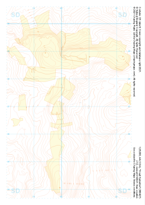 "Great Hameldon" Landform+£4.99
1:25,000 scale map covering Great Hameldon in the Midlands (approx. center SD803271).
Learn More -
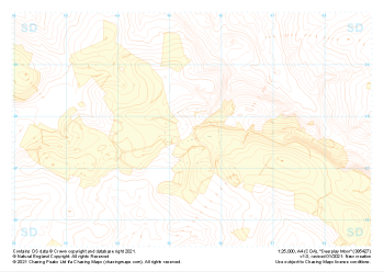 "Deerplay Moor" Landform+£4.99
1:25,000 scale map covering Deerplay Moor in the Midlands (approx. center SD854277).
Learn More -
 "Pendle Hill" Landform+£4.99
1:25,000 scale map covering Pendle Hill in the Midlands (approx. center SD795404).
Learn More -
 "Wheelton Moor" Landform+£4.99
1:25,000 scale map covering Wheelton Moor in the Midlands (approx. center SD642188).
Learn More