Our "Landform+" range is only available in England and Wales and is almost identical to the "Landform" range. In addition to the features shown in the "Landform" range we have included areas of Access Land on the map. These are shown in the familiar outdoor map style of a yellow tint over the map. In Scotland the access situation does not necessitate the existance of Access Land and therefore there is nothing for us to show.
Landform+
-
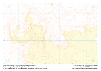
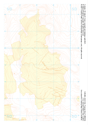 "Darwen Moor" Landform+£4.99
1:25,000 scale map covering Darwen Moor in the Midlands (approx. center SD683191).
Learn More -
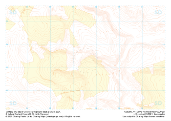
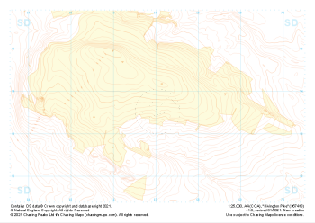 "Rivington Pike" Landform+£4.99
1:25,000 scale map covering Rivington Pike in the Midlands (approx. center SD670137).
Learn More -
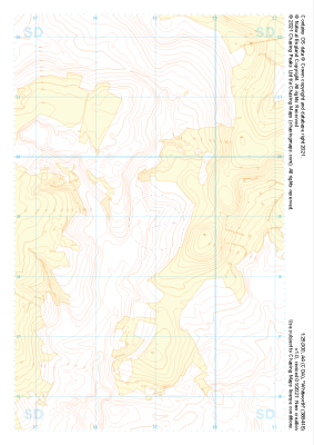
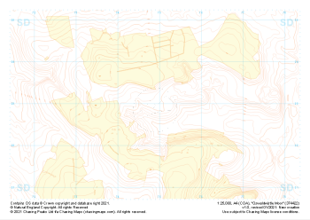 "Oswaldwistle Moor" Landform+£4.99
1:25,000 scale map covering Oswaldwistle Moor in the Midlands (approx. center SD749230).
Learn More -
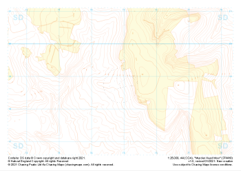 "Musden Head Moor" Landform+£4.99
1:25,000 scale map covering Musden Head Moor in the Midlands (approx. center SD749188).
Learn More -
 "Cowpe Moss" Landform+£4.99
1:25,000 scale map covering Cowpe Moss in the Midlands (approx. center SD833205).
Learn More -
 "Knowl Moor" Landform+£4.99
1:25,000 scale map covering Knowl Moor in the Midlands (approx. center SD834166).
Learn More -
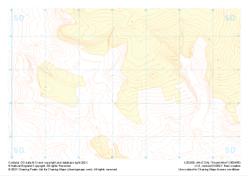
 "Whitworth" Landform+£4.99
1:25,000 scale map covering Whitworth in the Midlands (approx. center SD889189).
Learn More -
 "Inchfield Moor" Landform+£4.99
1:25,000 scale map covering Inchfield Moor in the Midlands (approx. center SD915234).
Learn More -
 "Shore Moor" Landform+£4.99
1:25,000 scale map covering Shore Moor in the Midlands (approx. center SD932189).
Learn More -
 "Bell House Moor" Landform+£4.99
1:25,000 scale map covering Bell House Moor in the Midlands (approx. center SD977241).
Learn More