Our "Landform+" range is only available in England and Wales and is almost identical to the "Landform" range. In addition to the features shown in the "Landform" range we have included areas of Access Land on the map. These are shown in the familiar outdoor map style of a yellow tint over the map. In Scotland the access situation does not necessitate the existance of Access Land and therefore there is nothing for us to show.
Landform+
-
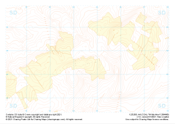
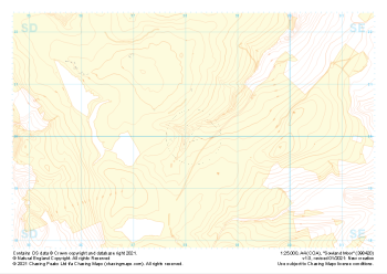 "Sowland Moor" Landform+£4.99
1:25,000 scale map covering Sowland Moor in the Midlands (approx. center SD982201).
Learn More -
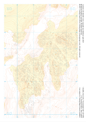
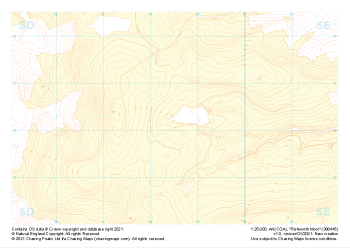 "Rishworth Moor" Landform+£4.99
1:25,000 scale map covering Rishworth Moor in the Midlands (approx. center SD985163).
Learn More -
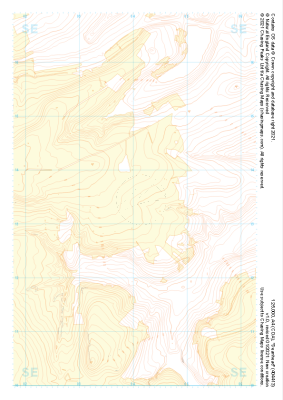 "Deanhead" Landform+£4.99
1:25,000 scale map covering Deanhead in the Midlands (approx. center SE040134).
Learn More -
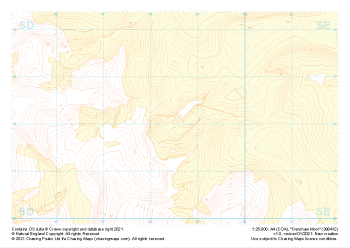 "Denshaw Moor" Landform+£4.99
1:25,000 scale map covering Denshaw Moor in the Midlands (approx. center SD985121).
Learn More -
 "White Moor" Landform+£4.99
1:25,000 scale map covering White Moor in the Midlands (approx. center SD846437).
Learn More -
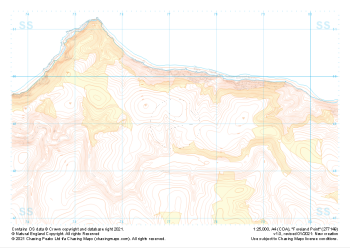 "Foreland Point" Landform+£4.99
1:25,000 scale map covering Foreland Point in the South West (approx. center SS771491).
Learn More -
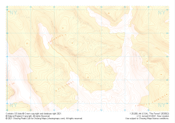 "The Forest" Landform+£4.99
1:25,000 scale map covering The Forest in the Lake District (approx. center NY534029).
Learn More -
 "Dunnerdale Fells" Landform+£4.99
1:25,000 scale map covering Dunnerdale Fells in the Lake District (approx. center SD214933).
Learn More -
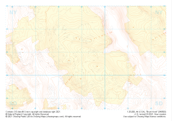 "Brunt Knott" Landform+£4.99
1:25,000 scale map covering Brunt Knott in the Lake District (approx. center NY492008).
Learn More -
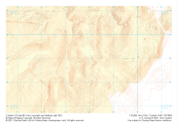 "Coniston Fells" Landform+£4.99
1:25,000 scale map covering Coniston Fells in the Lake District (approx. center SD280989).
Learn More