Our "Landform+" range is only available in England and Wales and is almost identical to the "Landform" range. In addition to the features shown in the "Landform" range we have included areas of Access Land on the map. These are shown in the familiar outdoor map style of a yellow tint over the map. In Scotland the access situation does not necessitate the existance of Access Land and therefore there is nothing for us to show.
Landform+
-
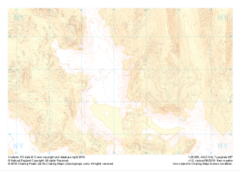
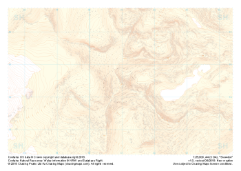 "Snowdon / Yr Wyddfa" Landform+£4.99
1:25,000 scale map covering Snowdon in North Wales (approx. center SH605545).
Yr Wyddfa as she is known in Welsh is the most summited mountain in Great Britain and one of the busiest summits in Europe. An integral part of the national and Welsh three peaks challenge as well as the Welsh 3000s challenge the area is well known by many walkers.
Away from the well trodden paths used by thousands each year the area boasts some true hidden gems and challenges for all levels of navigators, right up to the experts.
Learn More -
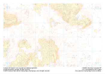
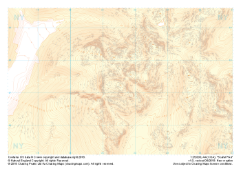 "Scafell Pike" Landform+£4.99
1:25,000 scale map covering Scafell Pike in the Lake District (approx. center NY215075).
The highest summit in England sits within the beautiful western fells of the Lake District National Park.
Learn More -
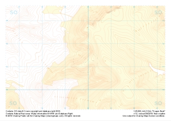 "Dragon Back" Landform+£4.99
1:25,000 scale map covering the Dragon's Back in the Brecon Beacons (approx. center SO175305).
Known as Y Grib, the small but defined ridge of the Dragon's Back rises up onto the plateau of the Black Mountains.
Learn More -
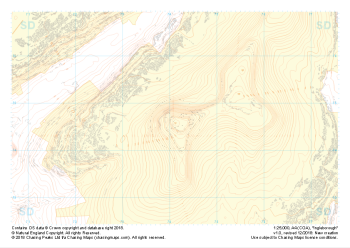
 "Pen-y-ghent" Landform+£4.99
1:25,000 scale map covering Pen-y-ghent in the Yorkshire Dales (approx. center SD839734).
Learn More -
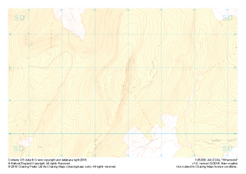 "Whernside" Landform+£4.99
1:25,000 scale map covering Whernside in the Yorkshire Dales (approx. center SD738814).
Learn More -
 "Ingleborough" Landform+£4.99
1:25,000 scale map covering Ingleborough in the Yorkshire Dales (approx. center SD741746).
Learn More -
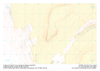
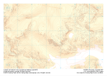 "Langdale NW" Landform+£4.99
1:25,000 scale map covering Langdale's North West corner (approx. center NY275075).
Known for its stunning countryside, tricky navigational terrain and beautiful wild camping spots, the Langdale Fells provide a true mountain adventure for every type of explorer.
Learn More -
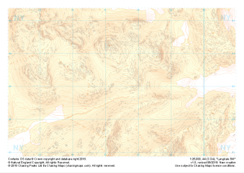 "Langdale SW" Landform+£4.99
1:25,000 scale map covering Langdale's North West corner (approx. center NY275035).
Known for its stunning countryside, tricky navigational terrain and beautiful wild camping spots, the Langdale Fells provide a true mountain adventure for every type of explorer.
Learn More -
 "Langdale NE" Landform+£4.99
1:25,000 scale map covering Langdale's North East corner (approx. center NY345075).
Known for its stunning countryside, tricky navigational terrain and beautiful wild camping spots, the Langdale Fells provide a true mountain adventure for every type of explorer.
Learn More -
 "Langdale SE" Landform+£4.99
1:25,000 scale map covering Langdale's South East corner (approx. center NY345035).
Known for its stunning countryside, tricky navigational terrain and beautiful wild camping spots, the Langdale Fells provide a true mountain adventure for every type of explorer.
Learn More