Our "Landform+" range is only available in England and Wales and is almost identical to the "Landform" range. In addition to the features shown in the "Landform" range we have included areas of Access Land on the map. These are shown in the familiar outdoor map style of a yellow tint over the map. In Scotland the access situation does not necessitate the existance of Access Land and therefore there is nothing for us to show.
Landform+
-
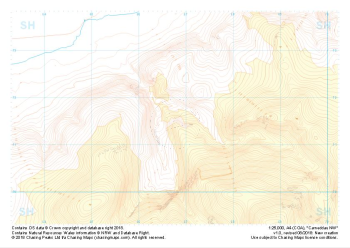 "Carneddau NW" Landform+£4.99
1:25,000 scale map covering Carneddau NW in the North Wales (approx. center SH668716).
Learn More -
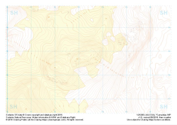 "Carneddau NE" Landform+£4.99
1:25,000 scale map covering Carneddau NE in the North Wales (approx. center SH734727).
Learn More -
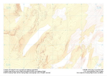 "Carneddau SW" Landform+£4.99
1:25,000 scale map covering Carneddau SW in the North Wales (approx. center SH740626).
Learn More -
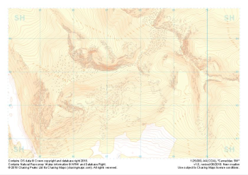 "Carneddau SE" Landform+£4.99
1:25,000 scale map covering Carneddau SE in the North Wales (approx. center SH675627).
Learn More -
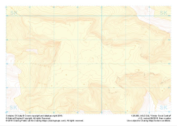 "Kinder Scout Central" Landform+£4.99
1:25,000 scale map covering Kinder Scout Central in the Peak District (approx. center SK094880).
Learn More -
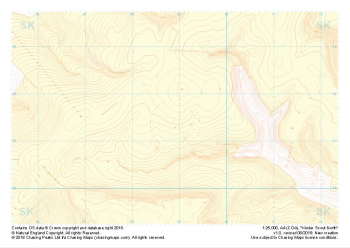 "Kinder Scout North" Landform+£4.99
1:25,000 scale map covering Kinder Scout North in the Peak District (approx. center SK089914).
Learn More -
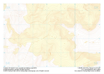 "Kinder Scout South" Landform+£4.99
1:25,000 scale map covering Kinder Scout South in the Peak District (approx. center SK084851).
Learn More -
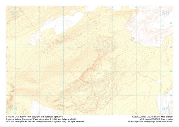 "Carnedd Moel Siabod" Landform+£4.99
1:25,000 scale map covering Carnedd Moel Siabod in the North Wales (approx. center SH711554).
Learn More -
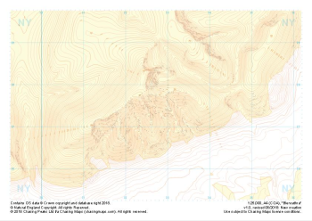 "Blencathra" Landform+£4.99
1:25,000 scale map covering Blencathra in the Lake District (approx. center NY327275).
Learn More -
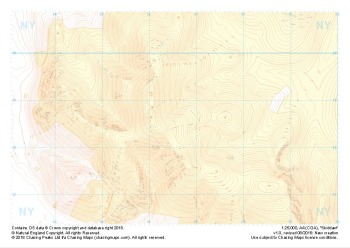 "Skiddaw" Landform+£4.99
1:25,000 scale map covering Skiddaw in the Lake District (approx. center NY265286).
Learn More