Our "Landform+" range is only available in England and Wales and is almost identical to the "Landform" range. In addition to the features shown in the "Landform" range we have included areas of Access Land on the map. These are shown in the familiar outdoor map style of a yellow tint over the map. In Scotland the access situation does not necessitate the existance of Access Land and therefore there is nothing for us to show.
Landform+
-
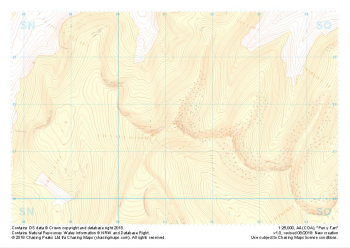 "Pen y Fan" Landform+£4.99
1:25,000 scale map covering Pen y Fan in the South Wales (approx. center SO012216).
Learn More -
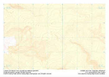 "Shelf Moor (Bleaklow)" Landform+£4.99
1:25,000 scale map covering Shelf Moor (Bleaklow) in the Peak District (approx. center SK095949).
Learn More -
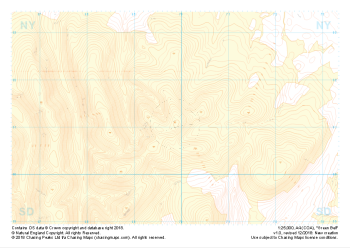
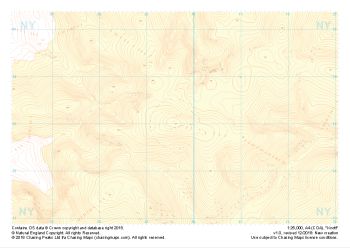 "Knott" Landform+£4.99
1:25,000 scale map covering Knott in the Lake District (approx. center NY296330).
Learn More -
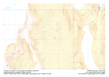 "High Seat" Landform+£4.99
1:25,000 scale map covering High Seat in the Lake District (approx. center NY287181).
Learn More -
 "Green Bell" Landform+£4.99
1:25,000 scale map covering Green Bell in the Yorkshire Dales (approx. center NY699011).
Learn More -
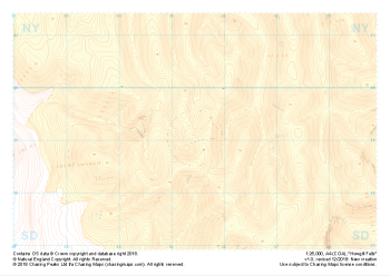
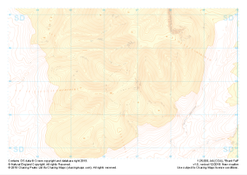 "Brant Fell" Landform+£4.99
1:25,000 scale map covering Brant Fell in the Yorkshire Dales (approx. center SD666948).
Learn More -
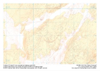 "Moel y Dyniewyd" Landform+£4.99
1:25,000 scale map covering Moel y Dyniewyd in North Wales (approx. center SH612480).
Learn More -
 "Howgill Fells" Landform+£4.99
1:25,000 scale map covering Howgill Fells in the Yorkshire Dales (approx. center SD654990).
Learn More -
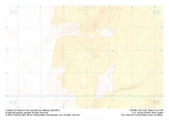 "Barbon Low Fell" Landform+£4.99
1:25,000 scale map covering Barbon Low Fell in the Yorkshire Dales (approx. center SD649816).
Learn More -
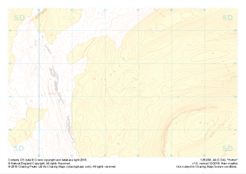 "Horton" Landform+£4.99
1:25,000 scale map covering Horton in the Yorkshire Dales (approx. center SD825763).
Learn More