Our "Landform+" range is only available in England and Wales and is almost identical to the "Landform" range. In addition to the features shown in the "Landform" range we have included areas of Access Land on the map. These are shown in the familiar outdoor map style of a yellow tint over the map. In Scotland the access situation does not necessitate the existance of Access Land and therefore there is nothing for us to show.
Landform+
-
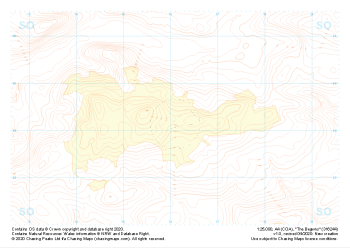 "The Begwns" Landform+£4.99
1:25,000 scale map covering The Begwns in the South Wales (approx. center SO161441).
Learn More -
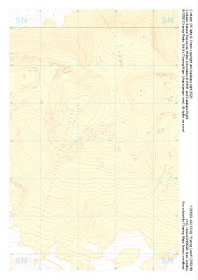 "Garreg Lwyd" Landform+£4.99
1:25,000 scale map covering Garreg Lwyd in the South Wales (approx. center SN744169).
Learn More -
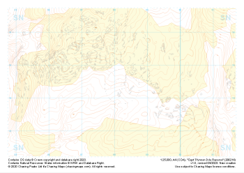 "Ogof Ffynnon Ddu Reserve" Landform+£4.99
1:25,000 scale map covering Ogof Ffynnon Ddu Reserve in the South Wales (approx. center SN882144).
Learn More -
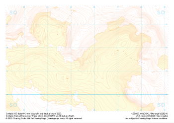 "Blorenge" Landform+£4.99
1:25,000 scale map covering Blorenge in the South Wales (approx. center SO257114).
Learn More -
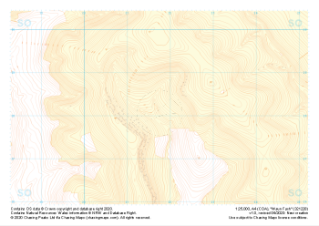 "Waun Fach" Landform+£4.99
1:25,000 scale map covering Waun Fach in the South Wales (approx. center SO217281).
Learn More -
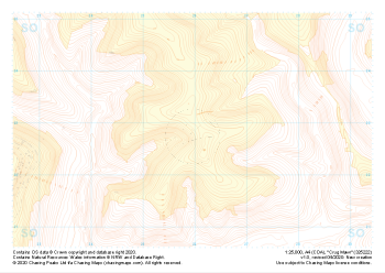 "Crug Mawr" Landform+£4.99
1:25,000 scale map covering Crug Mawr in the South Wales (approx. center SO260227).
Learn More -
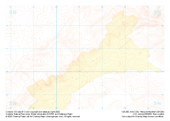 "Mynydd Myddfai" Landform+£4.99
1:25,000 scale map covering Mynydd Myddfai in the South Wales (approx. center SN812305).
Learn More -
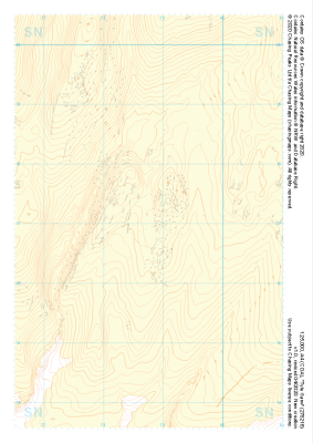 "Tyle Garw" Landform+£4.99
1:25,000 scale map covering Tyle Garw in the South Wales (approx. center SN788169).
Learn More -
 "Rhos Dringarth" Landform+£4.99
1:25,000 scale map covering Rhos Dringarth in the South Wales (approx. center SN962210).
Learn More -
 "Cefn yr Ystrad" Landform+£4.99
1:25,000 scale map covering Cefn yr Ystrad in the South Wales (approx. center SO082121).
Learn More