Our "Landform+" range is only available in England and Wales and is almost identical to the "Landform" range. In addition to the features shown in the "Landform" range we have included areas of Access Land on the map. These are shown in the familiar outdoor map style of a yellow tint over the map. In Scotland the access situation does not necessitate the existance of Access Land and therefore there is nothing for us to show.
Landform+
-
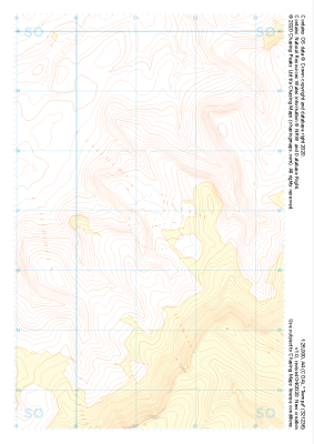 "Twmpa" Landform+£4.99
1:25,000 scale map covering Twmpa in the South Wales (approx. center SO212367).
Learn More -
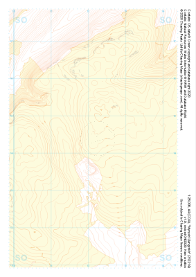 "Mynydd Llangynidr" Landform+£4.99
1:25,000 scale map covering Mynydd Llangynidr in the South Wales (approx. center SO121143).
Learn More -
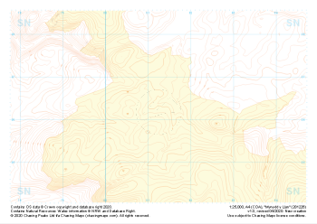 "Mynydd y Llan" Landform+£4.99
1:25,000 scale map covering Mynydd y Llan in the South Wales (approx. center SN812262).
Learn More -
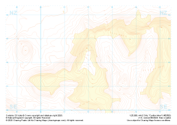 "Carlton Moor" Landform+£4.99
1:25,000 scale map covering Carlton Moor in the North Yorkshire (approx. center NZ520020).
Learn More -
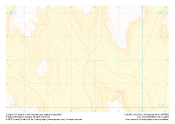 "Westerdale Moor" Landform+£4.99
1:25,000 scale map covering Battersby Moor in the North Yorkshire (approx. center NZ610060).
Learn More -
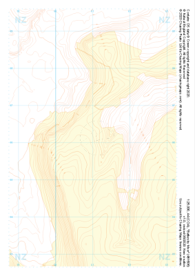 "Battersby Moor" Landform+£4.99
1:25,000 scale map covering Westerdale Moor in the North Yorkshire (approx. center NZ677019).
Learn More -
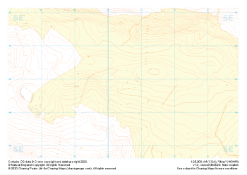
 "Grassington Moor" Landform+£4.99
1:25,000 scale map covering Grassington Moor in the North Yorkshire (approx. center SE023685).
Learn More -
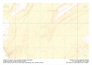
 "Ilkley" Landform+£4.99
1:25,000 scale map covering Ilkley in the North Yorkshire (approx. center SE105448).
Learn More -
 "Lodge Moor" Landform+£4.99
1:25,000 scale map covering Lodge Moor in the North Yorkshire (approx. center SE005743).
Learn More -
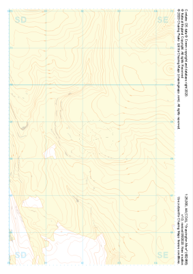
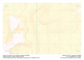
 "Buckden" Landform+£4.99
1:25,000 scale map covering Buckden in the North Yorkshire (approx. center SD975793).
Learn More